 District of Nové Mesto nad Váhom: Beckov
Beckov occupies the foothills of the Považský Inovec Mountains in the Trenčín Region of western Slovakia. The village stands close to the Váh, one of the country’s principal rivers, and is defined by Beckov Castle, whose ruins crown a steep limestone outcrop. The fortress developed from a 13th-century castle and became an important stronghold of the medieval Kingdom of Hungary; after a fire in 1729 it was abandoned. Below the rock, the settlement has a parish church and compact streets of family houses, while the low hills of Považský Inovec shape its rural setting. Beckov is also associated with traditional legends surrounding its castle.
Generated by AI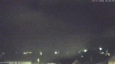

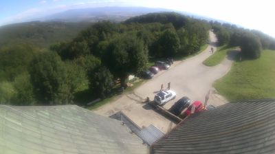
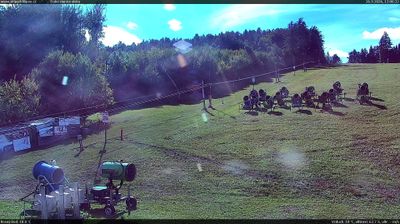

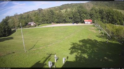
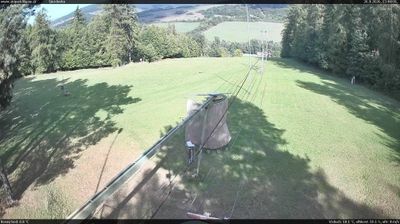


Built around the Váh River, Nové Mesto nad Váhom grew into the administrative centre of its district in Slovakia’s Trenčín Region. The Váh, Slovakia’s longest river, runs through a broad valley between the Považský Inovec range to the east and the White Carpathians to the west. The centre retains the compact plan of a historic market town, and the Church of the Nativity of the Virgin Mary is among its enduring landmarks. The town reflects the character of Považie, shaped by the river’s north–south corridor, farmland and wooded slopes. Explore further live views from the Trenčín Region to extend your journey through the Váh valley.
3 webcams
Shaped by the Váh river corridor and routes through north-western Slovakia, the Region of Trenčín developed into an administrative region of broad valleys, wooded uplands and historic towns. Trenčín, its regional centre, is dominated by Trenčín Castle above the river; the rock below preserves a Latin inscription from the Roman era. The White Carpathians form part of the western borderland, while the Strážov Mountains and Považský Inovec give the interior a more rugged profile. Spa traditions, folk culture and the Váh’s settlement corridor remain central to the region’s identity. See how the Region of Trenčín fits within north-western Slovakia by browsing webcams nearby.
18 webcams
Slovakia is best known internationally for the High Tatras, whose granite summits form the country’s most celebrated mountain landscape. Gerlachovský štít, at 2,655 metres, is the highest peak in Slovakia and in the Carpathians. The Danube runs past Bratislava, where Bratislava Castle stands on a hill above the river, linking the capital to Central Europe’s major waterway. Beyond the cities, forests, karst terrain and small historic towns define much of the country. Slovakia’s long folk tradition is also represented by the fujara, a large shepherd’s flute recognised by UNESCO. Browse additional webcams from the surrounding area to extend your view of the High Tatras and the Danube region.
282 webcams