 Antrim: Gregg Lake
Few places in New Hampshire have a history as closely tied to the waterways of the Monadnock Region as Antrim. Gregg Lake is a modest freshwater lake within the town, edged by mixed woodland and scattered lakeside homes; its rocky shore gives it a distinctly New England character. It lies in the Contoocook River watershed, which connects this lake country with the Merrimack River farther east. Antrim was incorporated in 1777 and named for County Antrim in Northern Ireland. Its compact center, local roads and waterside neighborhoods retain the scale of a rural New Hampshire community, amid the forests, ponds and rounded hills of the wider Monadnock Region.
Generated by AI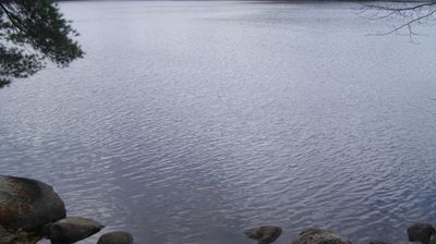
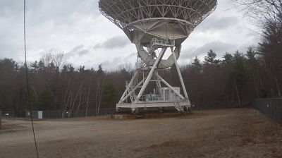

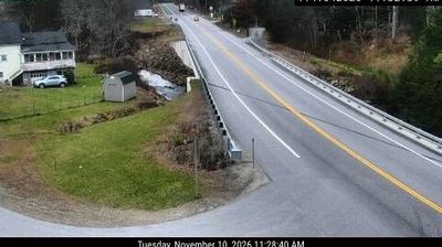
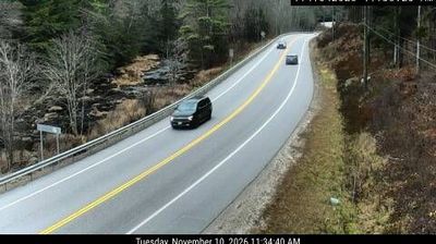


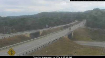


Antrim sits amid the wooded hills of New Hampshire’s Monadnock Region, where small roads link a compact village centre with forests, ponds and rural neighbourhoods. Incorporated in 1777, the town took its name from County Antrim in Northern Ireland, reflecting the British and Irish place names found across early New England. Franklin Pierce Lake lies nearby, adding a broad stretch of water to this inland setting, while the surrounding countryside is shaped by working woodland and low hills. Browse other webcams across New Hampshire to place Antrim in a wider geographic context.
2 webcams
New Hampshire occupies a mountainous inland position in the northeastern United States. The White Mountains define much of its northern character, culminating at Mount Washington, whose summit is famed for severe and rapidly changing weather. Southward, the Merrimack River links former mill cities including Manchester and Nashua, while Lake Winnipesaukee anchors the Lakes Region with wooded shores and island-dotted water. The state’s compact scale brings ski country, forest roads, historic seaports and New England town centres within reach of one another. Granite quarrying helped give New Hampshire its familiar nickname, the Granite State. Discover other points of interest through webcams located across New Hampshire.
331 webcams
The Atlantic, Pacific and Gulf coasts define much of the United States — their ports, fisheries and trade routes have long tied the country’s economy to the wider world. Between them, the Rocky Mountains, Great Plains and Mississippi River basin form sharply different regions, from high western ranges to broad agricultural heartlands. Cities carry much of the national story: New York’s Statue of Liberty, a gift from France dedicated in 1886, remains an enduring symbol, while Washington, DC concentrates major federal institutions. Indigenous nations have shaped these lands for millennia, and their living cultures remain essential to the country’s identity. Find related webcams in the surrounding areas to build a fuller picture of the United States.
32K webcams