 Cabo San Lucas: villa
Cabo San Lucas straddles the meeting of the Pacific Ocean and the Gulf of California at the southern tip of Baja California Sur, a position that turned a small fishing settlement into one of Mexico’s best-known resort towns. The Pacific coast runs beneath the granite headlands of Land’s End, where El Arco is the signature rock formation at the tip of the peninsula. On the sheltered side, the marina and Médano Beach concentrate much of the town’s boating, hotels and dining. Sport fishing remains central to Cabo’s identity, while the surrounding Los Cabos area links it with San José del Cabo along the resort corridor. Beyond the waterfront, the arid peninsula rises toward the Sierra de la Laguna range.
Generated by AI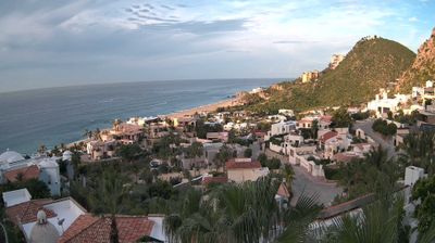
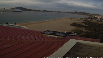
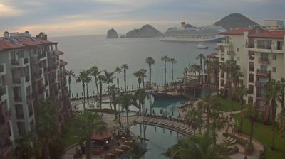
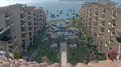
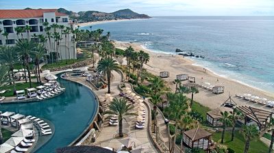
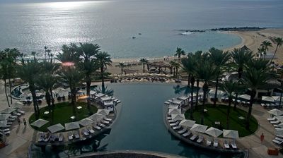
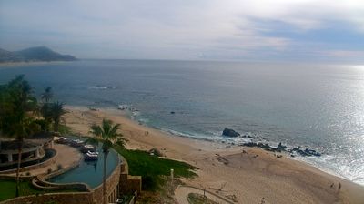

Cabo San Lucas is best known within Baja California Sur for El Arco, the granite sea arch at Land’s End. Set at the southern tip of the Baja California Peninsula, the city lies near the meeting zone of the Pacific Ocean and the Gulf of California. El Arco and the surrounding sea stacks rise from the water off the harbor and are commonly reached by boat. The marina forms the centre of a busy waterfront, while sport fishing remains closely associated with the town alongside hotels and marine excursions. Beaches, desert terrain and open ocean give this southern cape a sharply defined setting. Find related webcams in Los Cabos and Baja California Sur to build a fuller picture of Cabo San Lucas.
4 webcams
Built around coastal settlements sustained by fishing and sea trade, Baja California Sur grew into a Mexican state defined by the Pacific Ocean, the Gulf of California and a dry peninsula interior. La Paz, the state capital on the gulf, is a principal starting point for the islands and waters off the eastern coast. Farther north, Loreto preserves a key strand of the peninsula’s colonial past: the Mission of Our Lady of Loreto, founded by Jesuits in 1697, was the first permanent Jesuit mission on the peninsula. The Sierra de la Giganta rises behind the gulf shore, while Magdalena Bay on the Pacific side is known for wintering gray whales. Continue with other webcams from the area to see how this part of northwestern Mexico connects regionally.
8 webcams
Mexico is best known internationally for its ancient Maya and Aztec heritage. Its territory stretches between the Pacific Ocean, the Gulf of Mexico and the Caribbean Sea, with the Sierra Madre ranges shaping much of the country’s terrain. Chichén Itzá on the Yucatán Peninsula remains one of the most recognized Maya archaeological sites, while Mexico City stands on the site of Tenochtitlan, the former Aztec capital. Traditional Mexican cuisine, recognized by UNESCO, reflects regional ingredients such as maize, beans, chile and cacao. Move on to other webcams in the region to compare landscapes and settings around Mexico.
43 webcams