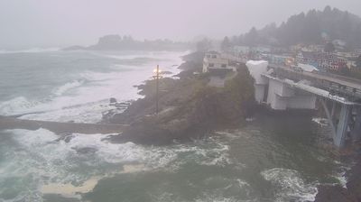
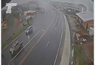
 Newport: US101 at - Yaquina Bay Bridge N
Newport has served as a port on Oregon’s central coast since the late 19th century. Set around Yaquina Bay, the city developed through fishing, timber and maritime trade, and its working waterfront remains central to local life. The Yaquina Bay Bridge carries U.S. Route 101 across the bay; completed in 1936, it is one of the landmark Oregon Coast bridges designed by engineer Conde McCullough. Newport is also home to the Oregon Coast Aquarium and the Hatfield Marine Science Center, reflecting the bay’s continuing importance for marine research. The Pacific shoreline lies immediately west of town, while the sheltered bay shapes its harbor, roads and neighborhoods.
Generated by AI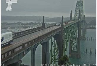





Newport lies along Narragansett Bay on Rhode Island’s Aquidneck Island, where a sheltered harbor faces the bay while the island’s eastern shore meets the Atlantic. Founded in 1639, it developed into a major colonial seaport and later became synonymous with the Gilded Age summer estates of wealthy American families. The Breakers, commissioned by Cornelius Vanderbilt II and completed in 1895, is the best-known of these grand houses. Newport’s sailing identity is equally enduring: it hosted America’s Cup races for decades, and its waterfront remains central to city life. The Cliff Walk traces the rocky Atlantic edge past public shoreline and historic estates. Browse other webcams across Rhode Island and Narragansett Bay to place this coastal setting in a wider geographic context.
4 webcams
Rhode Island has served as a maritime and commercial center within New England since the colonial era. The smallest U.S. state is shaped by Narragansett Bay, whose coves and islands carry the Atlantic far inland. Providence, at the bay’s head, is home to the Rhode Island School of Design and a long-established port tradition. Newport recalls its importance as a seaport through its historic waterfront and the Gilded Age mansions of Bellevue Avenue. The Blackstone River Valley also preserves a strong connection to early American industry, while beaches and coastal communities sustain Rhode Island’s seafaring character. Trace Rhode Island’s place in New England by browsing webcams in the surrounding area.
11 webcams
The Atlantic, Pacific and Gulf coasts define much of the United States — their ports, fisheries and trade routes have long tied the country’s economy to the wider world. Between them, the Rocky Mountains, Great Plains and Mississippi River basin form sharply different regions, from high western ranges to broad agricultural heartlands. Cities carry much of the national story: New York’s Statue of Liberty, a gift from France dedicated in 1886, remains an enduring symbol, while Washington, DC concentrates major federal institutions. Indigenous nations have shaped these lands for millennia, and their living cultures remain essential to the country’s identity. Find related webcams in the surrounding areas to build a fuller picture of the United States.
32K webcams