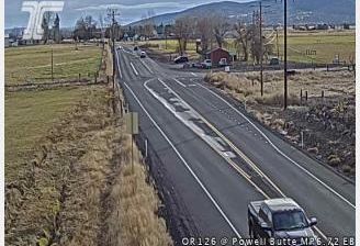
 Terrebonne: US97 at Ogden Wayside
Terrebonne has served as an agricultural community in central Oregon since the early twentieth century. Set on the High Desert north of Redmond, it follows the US Route 97 corridor through a broad plateau where irrigated fields meet juniper country. The Crooked River has carved a deep basalt canyon south of the settlement, while Smith Rock State Park preserves volcanic cliffs and the river corridor nearby. Peter Skene Ogden State Scenic Viewpoint, named for the fur trader and explorer, stands by the Crooked River canyon. Terrebonne belongs to the wider landscape of Deschutes County, framed by the Cascade Range and its volcanic terrain.
Generated by AI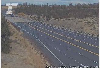
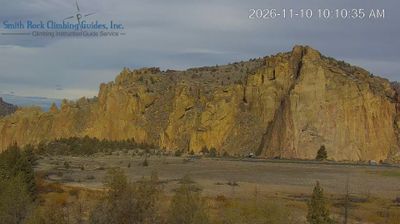
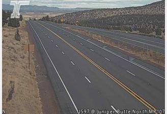
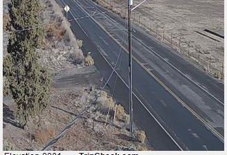


Few communities in northwestern Minnesota have a history as closely tied to the agricultural settlement of the Red River Valley as Terrebonne. This small Polk County community stands amid the valley’s broad, level farmland, near the Red Lake River as it flows west toward the Red River of the North. Its French name means “good earth,” a fitting reference to the productive soils that made farming central to this part of Minnesota. Terrebonne lies on U.S. Highway 2, where open fields and expansive skies define the setting more than dense development. The wider valley occupies the former bed of glacial Lake Agassiz, which left deep, fertile sediments across northwestern Minnesota. View additional webcams nearby to better understand how Terrebonne relates to the Red River Valley and its river corridors.
2 webcams
Forests, prairie and a vast lake country define much of Minnesota – these environments sustain farming, recreation and communities accustomed to long, cold winters. The Mississippi River begins at Lake Itasca in the north, then crosses the state on its way south, while Minnesota’s Lake Superior shoreline brings a markedly different, rocky Great Lakes character to the northeast. Minneapolis and Saint Paul form the Twin Cities on the river, the state’s principal urban centre. Minnesota is also home to Dakota and Ojibwe communities whose cultural presence remains central to the region. Move on to other webcams in the region to compare landscapes and settings around Minnesota.
1.6K webcams
The Atlantic, Pacific and Gulf coasts define much of the United States — their ports, fisheries and trade routes have long tied the country’s economy to the wider world. Between them, the Rocky Mountains, Great Plains and Mississippi River basin form sharply different regions, from high western ranges to broad agricultural heartlands. Cities carry much of the national story: New York’s Statue of Liberty, a gift from France dedicated in 1886, remains an enduring symbol, while Washington, DC concentrates major federal institutions. Indigenous nations have shaped these lands for millennia, and their living cultures remain essential to the country’s identity. Find related webcams in the surrounding areas to build a fuller picture of the United States.
32K webcams