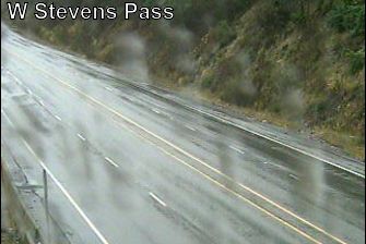
 Berne: US 2 at MP 64.3: West Stevens Pass - Ski Lodge
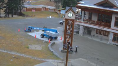
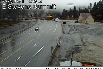
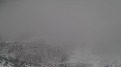
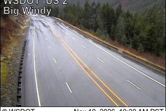
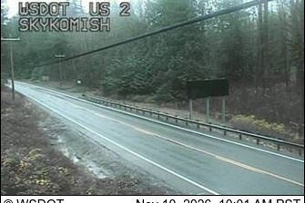
Stevens Pass combines the scale of a major cross-Cascade highway with the seclusion of dense conifer forest, reflecting its position on the crest of Washington’s Cascade Range. US Route 2 crosses the pass at 4,061 feet, connecting the communities of western Washington with the Wenatchee Valley and points east. The route follows a historic transportation corridor through steep mountain terrain and is named for railroad engineer John Frank Stevens. Stevens Pass Ski Area lies nearby, while the surrounding national-forest landscape is defined by firs, hemlocks and rugged ridgelines. This is a working mountain crossing rather than a remote back road, with the highway forming an important link across the Cascades.
Generated by AI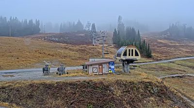



The flat agricultural plains of northeastern Indiana define the setting of Berne — fields, straight roads and a compact town grid shape daily life in this Adams County community. Founded in 1852 by Swiss Mennonite settlers and named for Bern, Switzerland, Berne retains a clear Swiss-American identity. Its annual Swiss Days celebration brings together food, music and local traditions, while the Swiss Heritage Village & Museum explores the area’s settlement story. This is a small Midwestern city shaped by migration, farming and community institutions rather than metropolitan scale. Browse other webcams across Indiana to place this setting in a wider geographic context.
3 webcams
Indiana’s terrain ranges from the sandy Lake Michigan shore and glaciated plains in the north to wooded, rolling hills in the south, creating a clear shift in character across the state. The Wabash River, Indiana’s state river, follows much of the western border before meeting the Ohio River. Indianapolis anchors the centre with the Indianapolis Motor Speedway, home of the Indianapolis 500, while smaller cities and farming communities reflect the importance of corn and soybean country. Indiana Dunes National Park adds beaches and dune formations to a state better known for its interior. Find related webcams in the surrounding area to build a fuller picture of Indiana.
353 webcams
The Atlantic, Pacific and Gulf coasts define much of the United States — their ports, fisheries and trade routes have long tied the country’s economy to the wider world. Between them, the Rocky Mountains, Great Plains and Mississippi River basin form sharply different regions, from high western ranges to broad agricultural heartlands. Cities carry much of the national story: New York’s Statue of Liberty, a gift from France dedicated in 1886, remains an enduring symbol, while Washington, DC concentrates major federal institutions. Indigenous nations have shaped these lands for millennia, and their living cultures remain essential to the country’s identity. Find related webcams in the surrounding areas to build a fuller picture of the United States.
32K webcams