 Winthrop: SR 20 at MP 192.5 - Rader Rd
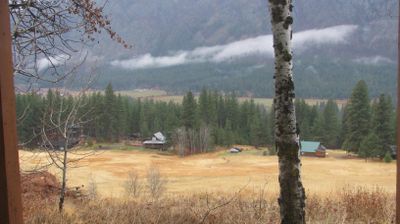
Winthrop combines a working small-town character with a deliberately Old West streetscape in a way that reflects its position in Washington’s Methow Valley. The town lies where the Chewuch River joins the Methow River, amid the eastern foothills of the Cascade Range. State Route 20 runs through the valley as the North Cascades Highway, linking Winthrop with mountain passes to the west and the Okanogan country to the east. Its boardwalk-fronted centre was reshaped in the 1970s with false-front buildings and timber detailing, creating a coherent frontier-town theme rather than preserving an untouched nineteenth-century streetscape. Winthrop is also a service centre for the surrounding valley, whose economy includes recreation, ranching and orchards.
Generated by AI


Winthrop occupies a low, wooded stretch of southwestern Arkansas in Little River County. The town lies in the Gulf Coastal Plain, where pine and hardwood forests, farmland and small settlements define the terrain. U.S. Route 71 passes through Winthrop, linking it with communities across the county and the wider Red River region. Little River County was created in 1867 and takes its name from the Little River, reflecting the importance of waterways in this rural part of Arkansas. View additional webcams nearby to better understand how Winthrop and Little River County relate to southwestern Arkansas.
1 webcam
The Arkansas River, the Ozark Plateau and the Ouachita Mountains define much of Arkansas — their waterways, forests and fertile lowlands have long supported farming, timber and river trade. These coordinates lie near Conway in central Arkansas, northwest of Little Rock. Conway is home to the University of Central Arkansas, founded in 1907, and has grown into a regional centre for education and business. Across the state, terrain shifts from the Mississippi Alluvial Plain in the east to higher, wooded country in the west. Browse additional webcams from central Arkansas to extend your view of the Arkansas River country.
33 webcams
The Atlantic, Pacific and Gulf coasts define much of the United States — their ports, fisheries and trade routes have long tied the country’s economy to the wider world. Between them, the Rocky Mountains, Great Plains and Mississippi River basin form sharply different regions, from high western ranges to broad agricultural heartlands. Cities carry much of the national story: New York’s Statue of Liberty, a gift from France dedicated in 1886, remains an enduring symbol, while Washington, DC concentrates major federal institutions. Indigenous nations have shaped these lands for millennia, and their living cultures remain essential to the country’s identity. Find related webcams in the surrounding areas to build a fuller picture of the United States.
32K webcams