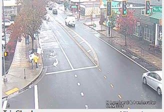
 Piedmont: I-5 at Going
Portland combines a major interstate corridor with river-city neighbourhoods in a way that reflects its position between the Willamette and Columbia rivers. Interstate 5 is the Pacific Northwest’s principal north–south highway and runs through Portland as part of the route linking Canada with California. Going Street lies in the city’s northern urban area, where residential blocks, rail infrastructure and commercial activity developed alongside regional transport routes. The Willamette flows north through Portland to meet the Columbia River, helping establish the city as an inland port. Incorporated in 1851, Portland grew through river trade and is now Oregon’s largest city, known for its extensive parks, cycling culture and independent food businesses.
Generated by AI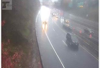





The landscape around Piedmont is a transition from rolling Great Plains grassland to the forested eastern foothills of the Black Hills, which has shaped both the town’s low-density form and livelihoods tied to the land. This small Meade County community lies north of Rapid City, where open ranch country begins to give way to ponderosa pine and the granite terrain of western South Dakota. The Black Hills hold enduring cultural importance for the Lakota and are also central to the state’s outdoor-recreation economy. Piedmont suits travellers looking to understand the quieter residential and rural edge of this nationally known mountain region. Discover further places of interest through webcams across the Black Hills and South Dakota.
2 webcams
South Dakota balances wide prairie horizons with rugged western terrain in a way that reflects its position within the northern Great Plains. The Missouri River crosses the state’s centre, passing Pierre, the capital, on its course toward the Mississippi. Farther west, the Black Hills form an isolated forested range that includes Mount Rushmore National Memorial, while Badlands National Park is known for its eroded buttes and layered rock formations. Native American nations, including the Oglala Lakota, maintain deep connections to this land, and the Sturgis Motorcycle Rally adds a prominent modern tradition each August. Agricultural plains, reservation communities and western towns give the state a distinctly inland American character. Continue with other webcams from the area to see how this part of the Great Plains connects regionally.
33 webcams
The Atlantic, Pacific and Gulf coasts define much of the United States — their ports, fisheries and trade routes have long tied the country’s economy to the wider world. Between them, the Rocky Mountains, Great Plains and Mississippi River basin form sharply different regions, from high western ranges to broad agricultural heartlands. Cities carry much of the national story: New York’s Statue of Liberty, a gift from France dedicated in 1886, remains an enduring symbol, while Washington, DC concentrates major federal institutions. Indigenous nations have shaped these lands for millennia, and their living cultures remain essential to the country’s identity. Find related webcams in the surrounding areas to build a fuller picture of the United States.
32K webcams