 Tahlequah: WSF - SW - Rd
Among the places of Puget Sound, Tahlequah stands out for its ferry connection between the south end of Vashon Island and Point Defiance in Tacoma. This small waterfront community occupies a wooded shoreline, where the Washington State Ferries route provides an essential link with the mainland. The service belongs to the state ferry system established in 1951, which connects communities around Puget Sound. Tahlequah Ferry Road descends through the slope to the terminal, giving the area a practical maritime character rather than the form of a conventional town centre. Vashon Island remains largely rural, with forests, farms and dispersed homes between its ferry landings.
Generated by AI
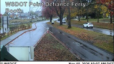
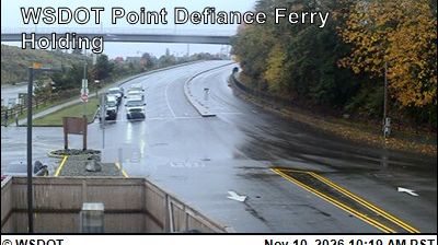

Tahlequah lies along the Illinois River valley in the foothills of the Ozark Plateau, where wooded slopes and clear-water streams shape northeastern Oklahoma. It is the capital of the Cherokee Nation and a focal point for Cherokee language, government, and contemporary cultural life. The Cherokee National Capitol, completed in 1869, served as the seat of the Cherokee government until Oklahoma statehood and now houses the Cherokee National History Museum. Downtown Tahlequah combines civic institutions, local shops, and university life through Northeastern State University. Browse other webcams across Oklahoma and the Ozark foothills to place this setting in a wider geographic context.
2 webcams
Oklahoma’s terrain shifts from the forested hills of its east to the open High Plains in the west, giving the state an unusually broad sweep of American landscapes. The Red River traces much of Oklahoma’s southern boundary with Texas, while the Canadian and Arkansas rivers cross its plains and valleys. Near Norman, the University of Oklahoma is a major academic and sporting presence, and its campus houses the Sam Noble Oklahoma Museum of Natural History. The cultures of 39 federally recognized Tribal Nations remain central to community life across the state. Route 66 also runs through Oklahoma, linking towns from the northeast to the Texas border. Continue through nearby webcams to explore different parts of Oklahoma.
11 webcams
The Atlantic, Pacific and Gulf coasts define much of the United States — their ports, fisheries and trade routes have long tied the country’s economy to the wider world. Between them, the Rocky Mountains, Great Plains and Mississippi River basin form sharply different regions, from high western ranges to broad agricultural heartlands. Cities carry much of the national story: New York’s Statue of Liberty, a gift from France dedicated in 1886, remains an enduring symbol, while Washington, DC concentrates major federal institutions. Indigenous nations have shaped these lands for millennia, and their living cultures remain essential to the country’s identity. Find related webcams in the surrounding areas to build a fuller picture of the United States.
32K webcams