 Rotterdam: Binnenban - Hoogvliet Rotterdam
Hoogvliet Rotterdam lies between the Oude Maas and the A15 motorway in South Holland, a setting that tied its growth to Rotterdam’s port and transport network. The Binnenban forms the district’s central shopping and service area, surrounded by apartment blocks, schools and green space in a largely post-war residential town. Hoogvliet was incorporated into Rotterdam in 1934, then expanded substantially after the Second World War as housing was needed for workers in the wider port region. Its street plan contrasts everyday suburban life with the industrial character of the Rhine–Meuse delta, while the Oude Maas embankment remains an important local waterfront.
Generated by AI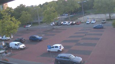

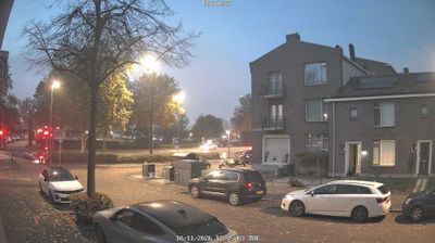
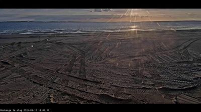

The Nieuwe Maas defines the setting of Rotterdam — this tidal arm of the Rhine–Meuse delta carries commercial traffic through a city whose quays, bridges and waterfront districts grew with the port. Europe’s largest seaport remains central to Rotterdam’s identity, while the city centre is marked by postwar planning after the German bombing of May 1940. The Erasmus Bridge, spanning the Nieuwe Maas, has become a modern emblem; nearby, the Cube Houses and Markthal underline Rotterdam’s taste for experimental architecture. Museum Park brings major art institutions together close to the centre, while Delfshaven preserves a markedly different, prewar streetscape. Continue through nearby webcams to explore different parts of Rotterdam and South Holland.
9 webcams
South Holland occupies a low-lying coastal belt in the western Netherlands. Its densely settled terrain is organised around the Rhine–Meuse delta, with the Nieuwe Maas running through Rotterdam before reaching the North Sea. Rotterdam, home to Europe’s largest port, gives the province an unmistakably international, industrial character; the Erasmus Bridge has become one of its defining modern landmarks. Beyond the city, polders, canals and long North Sea beaches shape places such as Delft, The Hague and the coastal resorts. Explore additional webcams nearby to see how South Holland connects with the Dutch delta and coast.
22 webcams
Among the countries of northwestern Europe, the Netherlands stands out for its carefully managed lowlands in the Rhine–Meuse–Scheldt delta. Much of the country lies low in relation to the sea, and dikes, dunes, pumps and polders are integral to its everyday geography. The North Sea coast ranges from broad beaches to the Wadden Sea, a tidal area shared with Germany and Denmark. Amsterdam’s 17th-century canal ring recalls an era when Dutch trade connected the republic with ports around the world. Beyond the capital, bicycles, dairy farming, bulb fields and compact historic cities give the country a distinct rhythm. Rotterdam’s port and the Delta Works show how maritime commerce and water engineering remain central. View additional webcams nearby to better understand how the Rhine–Meuse–Scheldt delta relates to its North Sea surroundings.
126 webcams