 Stara Voda: Vysílač Dyleň
Stará Voda lies along a wooded valley in the Český les, where the broad forested mass of Dyleň rises near the German border. The mountain reaches 940 metres and is among the defining high points of western Bohemia; its transmission tower has made the summit a recognisable landmark across the surrounding uplands. The settlement belongs to the quiet countryside south-west of Mariánské Lázně, the spa town renowned for its mineral springs. Stará Voda is also associated with the Church of St Anne, recalling an older pilgrimage tradition. Forest tracks and minor roads link clearings, conifer stands and small communities in a borderland shaped more by woodland than urban growth.
Generated by AI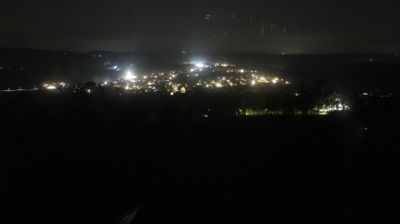

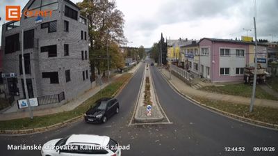


Built around the pilgrimage Church of St. Anne, Stará Voda grew into a small settlement in the wooded Slavkov Forest near Lázně Kynžvart. The village belongs to the Lázně Kynžvart municipality in Cheb District, in the western part of Bohemia close to the German border. Its quiet setting forms part of the wider Slavkovský les Protected Landscape Area, where forests and upland meadows shape the countryside. The Church of St. Anne remains Stará Voda’s principal historic landmark and recalls the area’s pilgrimage tradition. Explore nearby webcam locations that provide complementary perspectives on the Slavkov Forest and western Bohemia.
1 webcam
Among Czechia’s regions, Karlovarský kraj stands out for its long-established spa culture, shaped by mineral springs and elegant resort architecture. Karlovy Vary, Mariánské Lázně and Františkovy Lázně form the celebrated West Bohemian spa triangle; all are included in UNESCO’s transnational Great Spa Towns of Europe listing. The region also reaches into the Ore Mountains along the German border, while the Ohře River runs through its lower valleys. Beyond treatment houses and colonnades, Karlovy Vary is internationally known for its annual film festival and the local herbal liqueur Becherovka. Continue with other webcams from the area to see how this part of western Czechia connects regionally.
46 webcams
The terrain of Czechia ranges from fertile lowlands in southern Moravia to mountain ridges along the northern frontier, giving this Central European country a distinctly varied geography. The Vltava runs through Prague before joining the Elbe, while the Krkonoše form part of the border with Poland and include Sněžka, Czechia’s highest mountain. Prague’s historic centre, with Prague Castle and Charles Bridge, reflects the city’s long role as a political and cultural centre. Beyond the capital, Bohemia is known for spa towns and brewing, and Moravia for wine-growing traditions. View additional webcams nearby to better understand how Czechia relates to its Central European surroundings.
1.2K webcams