 Hem: Skinnesfjellet - Hvittingfoss
Skinnesfjellet defines the setting of Hem — its wooded ridge gives this rural part of southeastern Norway a clear horizon above open cultivated land. Hem lies south of Hvittingfoss, where the Numedalslågen runs through a broader lowland shaped by farming, forest and scattered holdings. The locality belongs to the historic Lardal district, where agriculture and forestry have long structured daily life. Field boundaries, tree belts and modest rural roads set the rhythm here, while Hvittingfoss forms the nearest village centre. The pattern of cleared land and forest remains central to the identity of this settled river valley, where the ridge rather than urban development defines the scale of the surroundings.
Generated by AI


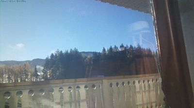


Built around long-established farms in the Lågen valley, Hem has remained a small rural locality in the inland part of Vestfold og Telemark. Cultivated fields and woodland surround the settlement near Numedalslågen, the river that follows Lågendalen south towards Larvik. This is a working agricultural district rather than an urban centre, linked by local roads to scattered homesteads and neighbouring communities. Hem reflects the quieter interior of southeastern Norway, away from the coastal towns along the Oslofjord. Discover other points of interest through webcams located across Vestfold og Telemark.
1 webcam
Vestfold stretches from the shores of the Oslofjord to the wooded interior near Telemark, encompassing fertile lowlands, long river valleys and a broken coastline of islands and skerries. The Numedalslågen runs south through the region to Larvik, linking farming districts with the sea. Tønsberg, among Norway’s oldest towns, gives Vestfold a strong maritime identity, while the Oseberg ship burial, discovered near the town, remains one of the most important finds from the Viking Age. Coastal communities, beaches and harbours make this a distinctly southern Norwegian region. Find related webcams in the surrounding area to build a fuller picture of Vestfold.
37 webcams
Norway has served as a seafaring link between the North Atlantic and northern Europe since the Viking Age. Its long coastline is cut by fjords, while the Lofoten archipelago rises sharply from the Norwegian Sea and the mountains of Jotunheimen include Galdhøpiggen, Norway’s highest peak. Bergen’s Bryggen, the former Hanseatic wharf, recalls centuries of maritime trade. Farther north, Sámi culture remains an essential part of the country’s identity. Explore nearby webcam locations that provide complementary perspectives on Norway’s coast, fjords and mountain regions.
1.5K webcams