 Stare Hamry: Ski Park Gruň
Ski Park Gruň combines a compact mountain-sports setting with the quiet character of the Moravian-Silesian Beskids in a way that reflects its position above Staré Hamry. Gruň lies on the slopes of the Beskydy, a forested range forming part of the wider Carpathians in eastern Czechia. The area is used for downhill skiing, while marked routes run through the surrounding highlands for walkers and cross-country skiers. The wooden Church of Our Lady of Help on Gruň, built in 1887, is a distinctive local cultural landmark. Below the mountain slopes lies Staré Hamry, in the valley of the Ostravice River, which continues north through the Beskydy foothills toward Frýdek-Místek.
Generated by AI
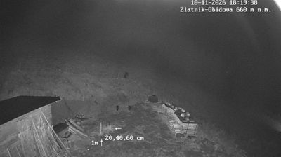
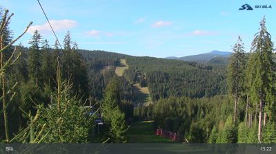
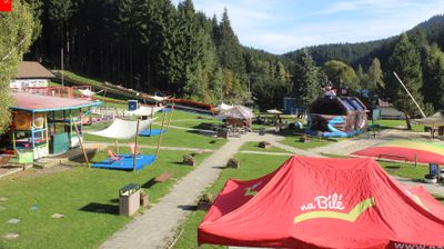



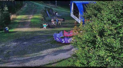
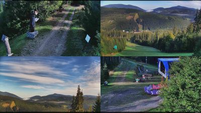


Stare Hamry is best known within the Moravian-Silesian Region for the Šance Reservoir, which holds back the Ostravice River and supplies drinking water to the Ostrava area. The municipality extends through a long Beskid valley beneath forested slopes, in the Moravian-Silesian Beskids near Lysá hora. Rather than a compact town centre, it is a dispersed mountain settlement, with houses and small hamlets following the river and side valleys. Its name recalls the ironworks that once operated here, linking today’s upland community to the region’s industrial past. Discover other points of interest through webcams located across Stare Hamry and the Moravian-Silesian Beskids.
2 webcams
Moravian-Silesian Region combines an industrial legacy with mountain terrain in a way that reflects its position between the historic lands of Moravia and Silesia on Czechia’s northeastern frontier. Ostrava, its largest city, developed around coal mining and ironmaking; the former Vítkovice ironworks, now the Dolní Vítkovice cultural complex, remain a defining reminder of that era. Beyond the urban basin, the Beskydy range rises in the southeast, while the Oder has its source in the Oderské vrchy. Opava adds another thread of Silesian identity through its historic centre and cultural life. Browse additional webcams from the surrounding area to extend your view of the Moravian-Silesian Region.
118 webcams
The terrain of Czechia ranges from fertile lowlands in southern Moravia to mountain ridges along the northern frontier, giving this Central European country a distinctly varied geography. The Vltava runs through Prague before joining the Elbe, while the Krkonoše form part of the border with Poland and include Sněžka, Czechia’s highest mountain. Prague’s historic centre, with Prague Castle and Charles Bridge, reflects the city’s long role as a political and cultural centre. Beyond the capital, Bohemia is known for spa towns and brewing, and Moravia for wine-growing traditions. View additional webcams nearby to better understand how Czechia relates to its Central European surroundings.
1.4K webcams