 Schrocken: Blick nach Nordwesten
Schröcken is best known within Vorarlberg for its access to the Ski Arlberg area. This small Walser settlement stands high in the upper valley of the Bregenzer Ach, amid the limestone terrain of the Bregenzerwald. Its parish church, marked by a slender spire, provides a focal point among scattered farmhouses, meadows and forested slopes. Schröcken adjoins neighbouring Warth and is connected by the Auenfeldjet lift to the wider Arlberg network around Lech, Zürs and St. Anton. Although mountain tourism is now central to local life, the village has retained the compact character of an Alpine farming community.
Generated by AI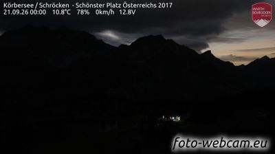

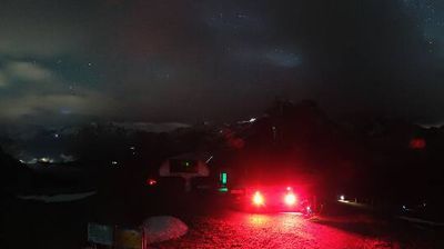
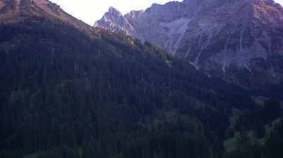
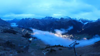
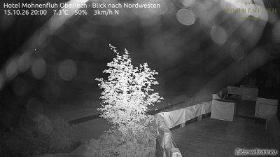

Few communities in Vorarlberg have a history as closely tied to Walser settlement as Gemeinde Schröcken. Set high in the Bregenzerwald Mountains, this small alpine municipality lies beside the upper Bregenzer Ach and below the Hochtannberg Pass, the high road linking it with Warth and the Lech valley. Its scattered hamlets and steep pasture slopes reflect a way of life long shaped by mountain farming, while the pass has also made Schröcken part of the wider Ski Arlberg area in winter. Summer brings walkers and cyclists into the high country, where the terrain remains distinctly rural beyond the main route. Discover other points of interest through webcams located across Vorarlberg.
2 webcams
Built around Alpine valley routes and the Rhine corridor, Vorarlberg grew into Austria’s westernmost federal state, where the Alps meet the shores of Lake Constance. The Rhine forms much of its border with Switzerland, while the Bregenzerwald, Arlberg and Montafon give the region a strongly mountainous character. Bregenz, on Lake Constance, is known internationally for the Bregenz Festival and its lakeside floating stage. Compact towns, timber architecture and a long textile-manufacturing tradition reflect a region linked closely to neighbouring Switzerland, Germany and Liechtenstein. Find related webcams in the surrounding area to build a fuller picture of Vorarlberg.
274 webcams
Austria stretches from the Bohemian Massif along its northern edge to the Carnic Alps on the Italian border, encompassing high Alpine ranges and the Danube lowlands. The Danube links cities including Linz and Vienna, while the Grossglockner, at 3,798 metres, is the country’s highest mountain. Vienna developed for centuries as the seat of the Habsburg court, leaving imperial architecture around the Hofburg and Schönbrunn Palace. Salzburg is closely associated with Wolfgang Amadeus Mozart, who was born there in 1756. Alpine Tyrol, wine-growing areas east of Vienna and the lakes of Salzkammergut add markedly different regional identities. Browse other webcams across Austria to place this setting in a wider geographic context.
3.1K webcams