 Zwischenbergen: Rangersdorf - Ederplan - Blick nach Nordosten
Tucked between the Möll Valley and the wooded slopes of the Kreuzeck Group, Ederplan above Rangersdorf is a place whose character is shaped by high alpine pastureland and a broad ridgeline. At 2,062 metres, it rises on the south side of the Mölltal in Carinthia, above a mosaic of forest, meadows and scattered farmsteads. The Kreuzeck Group forms the mountainous ground between the Möll and Drava valleys, and Ederplan is among its prominent upland summits. Rangersdorf’s dispersed settlement pattern reflects the long practice of mountain farming, which has helped maintain its meadows and pastures. Paths from the surrounding settlements reach open mountain terrain, where grassland, woodland and distant Alpine ridges meet.
Generated by AI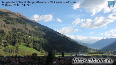
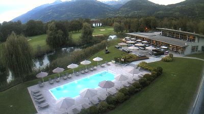
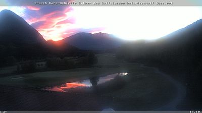
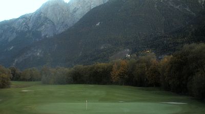

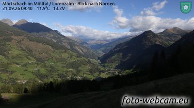
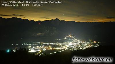
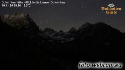

Few settlements in Carinthia have a history as closely tied to Alpine farming as Zwischenbergen. This small mountain locality lies above the Möll Valley, where the Möll River shapes one of western Carinthia’s principal north–south routes. Forested slopes, meadows and scattered farmsteads define the setting, with the high Alpine terrain of the Hohe Tauern rising farther north. Rural traditions remain central to the area’s identity, reflected in its working pastures and compact settlement pattern. View additional webcams nearby to better understand how Zwischenbergen relates to the Möll Valley and the surrounding Alps.
1 webcam
Carinthia is best known within Austria for its warm Alpine lakes, especially Lake Wörthersee. Austria’s southernmost province lies along the eastern Alps, where the Drava River runs through broad valleys below mountain slopes. Lake Millstatt and Lake Ossiach provide further waterside focal points, while the rounded Nock Mountains shape much of the interior. Klagenfurt, the provincial capital, is recognised for the Lindwurm fountain on Neuer Platz, a long-standing symbol of the city. Discover other points of interest through webcams located across Carinthia.
351 webcams
Austria stretches from the Bohemian Massif along its northern edge to the Carnic Alps on the Italian border, encompassing high Alpine ranges and the Danube lowlands. The Danube links cities including Linz and Vienna, while the Grossglockner, at 3,798 metres, is the country’s highest mountain. Vienna developed for centuries as the seat of the Habsburg court, leaving imperial architecture around the Hofburg and Schönbrunn Palace. Salzburg is closely associated with Wolfgang Amadeus Mozart, who was born there in 1756. Alpine Tyrol, wine-growing areas east of Vienna and the lakes of Salzkammergut add markedly different regional identities. Browse other webcams across Austria to place this setting in a wider geographic context.
3.1K webcams