 Hunnestad: Varbergs Flygklubb
The landscape around Varbergs Flygklubb is low and open, with farmland and level airfield ground, which has shaped both the built environment and local life. The site lies in Halland, where the broad agricultural plain of western Sweden provides space for recreational flying. Varberg stands on the Kattegat coast to the west, a maritime position that has long influenced the town. Its defining historic monument is Varberg Fortress, a former coastal stronghold whose walls now house Halland’s cultural-history museum. The airfield and its surrounding fields reveal a quieter, rural side of the Varberg area.
Generated by AI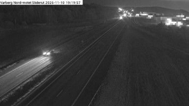
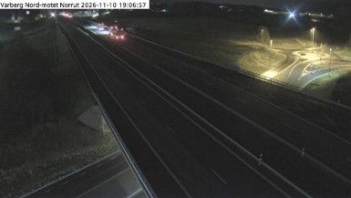

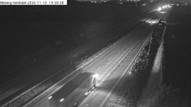

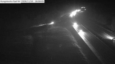



Built around its parish church and surrounding farmland, Hunnestad grew into a small community on the inland side of Varberg in Halland County. The Kattegat coast lies to the west, while the area around the settlement is part of Halland’s low, cultivated landscape rather than Sweden’s mountainous interior. Hunnestad sits within a region whose Danish past remains central to its identity: Halland became Swedish under the Treaty of Brömsebro in 1645. Discover nearby webcam locations that add broader perspectives on Halland and the Kattegat coast.
1 webcam
Among Sweden’s counties, Halland County stands out for its long, low-lying coastline on the Kattegat. Sandy beaches, dunes and open farmland shape the western edge, while forests and lakes occupy much of the interior. The Nissan River runs through Halmstad, the county seat, before reaching the sea, and the coast also includes the historic town of Varberg, known for Varberg Fortress. Halland belonged to Denmark until it was ceded to Sweden in 1645, a past still reflected in the region’s position along the old Danish-Swedish frontier. Continue through nearby webcams to explore different parts of Halland County.
30 webcams
Sweden combines Baltic coastal life with Arctic expanses in a way that reflects its position within northern Europe. Forests, lakes and long shorelines define much of the country, from Lake Vänern in the south to the Gulf of Bothnia and the mountains along the Norwegian border. Stockholm spreads across islands where Lake Mälaren meets the Baltic Sea, while the preserved 17th-century warship at the Vasa Museum recalls Sweden’s era as a major European power. Midsummer celebrations and the traditions of the Sámi people add further depth to its regional identity. Browse other webcams across Sweden to place this setting in a wider geographic context.
984 webcams