 Kittila: Tie 80 Kittilä, Tepsa - Sodankylään
Kittilä straddles the Ounasjoki River in Finnish Lapland, and its riverside setting has made it a service centre for settlements spread across a large northern municipality. The area extends from the forests and mires of the Ounasjoki valley towards the fells around Levi, one of Finland’s best-known ski resorts. Kittilä Airport connects this sparsely populated part of Lapland with other Finnish cities and international destinations. Reindeer herding remains an important livelihood and cultural tradition, alongside tourism and gold mining. Roads are essential here, linking the municipal centre with villages including Tepasto and with the open fell country of Pallas-Yllästunturi National Park.
Generated by AI
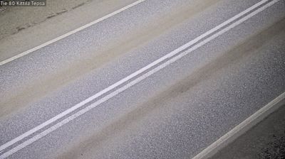


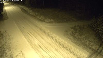
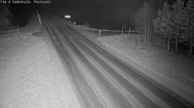
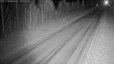

The Ounasjoki River defines the setting of Kittilä — its southward course gives this Finnish Lapland centre a low, wooded riverside profile and has long linked settlements across the municipality. North of the Arctic Circle, Kittilä belongs to a land of forests, fells and long winters; the Ounasjoki is a major tributary of the Kemijoki river system. The Levi fell resort stands in nearby Sirkka, and the municipality also extends into the Pallas–Yllästunturi National Park area. Kittilä Church, designed by Carl Ludvig Engel and completed in 1831, provides a neoclassical focal point in the centre. Browse other webcams across Finnish Lapland to place Kittilä in a wider geographic context.
11 webcams
Built around river valleys, reindeer husbandry and forestry, Lapland developed into Finland’s northernmost and largest region. Long winters, forests and rounded fells define its inland character, while the Kemijoki, Finland’s longest river, drains a large part of the area. Sámi culture is central to the north of the region; Finnish settlements have also long depended on woodland work and river routes. Rovaniemi, Lapland’s administrative centre, stands at the meeting of the Kemijoki and Ounasjoki and is home to the Arktikum science centre and museum. Explore nearby webcam locations that provide complementary perspectives on Finnish Lapland.
202 webcams
The terrain of Finland ranges from low coastal plains along the Gulf of Bothnia to fells in Lapland, creating a country of forests, lakes and long northern distances. More than 180,000 lakes shape everyday life, while the Lakeland region is threaded with waterways and islands. Helsinki, on the Gulf of Finland, combines neoclassical landmarks around Senate Square with contemporary Finnish design. Farther north, the Sámi are Finland’s only recognised Indigenous people, and their culture remains closely connected to the Arctic region. In winter, snow and ice transform the north; in summer, long daylight extends outdoor life well into the evening. Continue through nearby webcams to explore different parts of Finland.
1.7K webcams