 Liperi: Tie 23 - Kaatamo - Joensuuhun
Liperi extends between Lake Orivesi and Lake Pyhäselkä in North Karelia, and this lake-and-forest setting has shaped a municipality of scattered villages, woodland and water routes. Kaatamo lies in its southern rural area beside Finnish national road 23, the cross-country route running from Joensuu towards Pori. Forest is a defining part of the setting: Liperi belongs to eastern Finland’s boreal zone, where managed woods and small clearings meet the margins of an extensive lake system. The municipality forms part of the wider North Karelian cultural area, closely associated with the rye-crusted Karelian pie. Near the regional capital of Joensuu, Liperi retains a distinctly rural character.
Generated by AI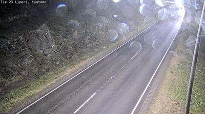
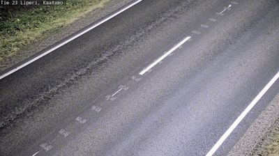
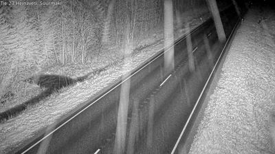
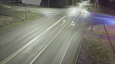
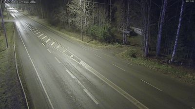
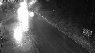
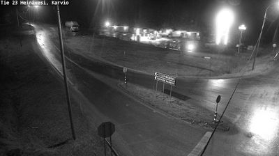
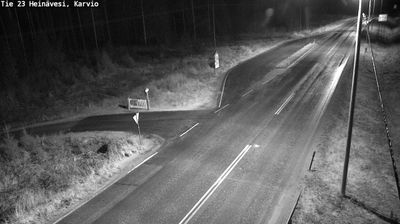
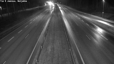

Few municipalities in North Karelia have a history as closely tied to the waterways of the Saimaa lake system as Liperi. Lake Orivesi and Pyhäselkä, both connected to that vast network of inland waters, shape the municipality’s surroundings; forests, islands and farmed fields occupy the land between their shores. At the parish centre, Liperi Church, completed in 1858, provides a link to the community’s Lutheran heritage. Villages including Viinijärvi and Ylämylly underline Liperi’s character as a spread-out Karelian municipality rather than a single urban centre. Continue through nearby webcams to explore different parts of Liperi and North Karelia.
3 webcams
Built around Lake Pielinen’s waterways, forest resources and eastern trade connections, North Karelia grew into a Finnish region with a strong Karelian identity. Its administrative centre, Joensuu, stands where the Pielisjoki River meets Lake Pyhäselkä; founded in 1848, the city remains the area’s principal urban hub. Farther north, Koli National Park rises above Pielinen and is associated with some of Finland’s best-known national landscapes. Forests, lakes and long distances define much of the region, while Karelian food, music and Orthodox traditions give it a cultural character distinct within Finland. View additional webcams nearby to better understand how North Karelia relates to eastern Finland and the Russian borderlands.
97 webcams
The terrain of Finland ranges from low coastal plains along the Gulf of Bothnia to fells in Lapland, creating a country of forests, lakes and long northern distances. More than 180,000 lakes shape everyday life, while the Lakeland region is threaded with waterways and islands. Helsinki, on the Gulf of Finland, combines neoclassical landmarks around Senate Square with contemporary Finnish design. Farther north, the Sámi are Finland’s only recognised Indigenous people, and their culture remains closely connected to the Arctic region. In winter, snow and ice transform the north; in summer, long daylight extends outdoor life well into the evening. Continue through nearby webcams to explore different parts of Finland.
1.7K webcams