 Kolari: Tie 21 - Pohjasenvaara - Kilpisjärvelle
Kolari combines the quiet scale of a Lapland municipality with the wider connections of a borderland transport route in a way that reflects its geographic position beside the Tornio River on Finland’s western frontier. National Road 21, part of the E8 corridor, runs through the municipality toward the Norwegian Arctic, following a landscape of boreal forest and river valleys. Kolari faces Sweden across the river, while the Ylläs fell area in the south of the municipality is one of Finnish Lapland’s best-known centres for skiing and outdoor recreation. Long-distance rail services also reach Kolari, reinforcing its role as a northern terminus for travellers from southern Finland.
Generated by AI
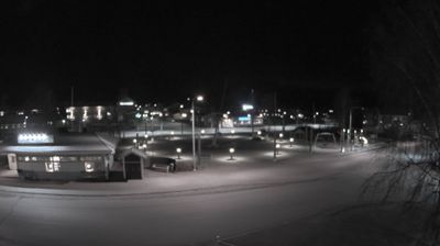


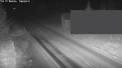
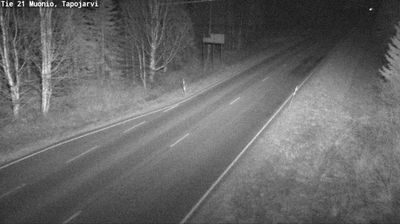
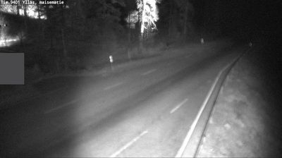


Built around the Muonio River valley, Kolari grew into a northern Finnish municipality where lowland river country meets the fells of Lapland. The Muonio forms part of Finland’s border with Sweden, giving the area a broad, sparsely settled frontier character. Kolari is the northern terminus of Finland’s rail network, a practical link between this remote district and the rest of the country. To the east, Ylläs rises above the villages of Äkäslompolo and Ylläsjärvi; its slopes and the nearby Pallas-Yllästunturi National Park make the municipality a base for skiing, hiking and cross-country routes. Explore other webcams across Finnish Lapland to compare river valleys and fell country around Kolari.
11 webcams
Built around river valleys, reindeer husbandry and forestry, Lapland developed into Finland’s northernmost and largest region. Long winters, forests and rounded fells define its inland character, while the Kemijoki, Finland’s longest river, drains a large part of the area. Sámi culture is central to the north of the region; Finnish settlements have also long depended on woodland work and river routes. Rovaniemi, Lapland’s administrative centre, stands at the meeting of the Kemijoki and Ounasjoki and is home to the Arktikum science centre and museum. Explore nearby webcam locations that provide complementary perspectives on Finnish Lapland.
202 webcams
The terrain of Finland ranges from low coastal plains along the Gulf of Bothnia to fells in Lapland, creating a country of forests, lakes and long northern distances. More than 180,000 lakes shape everyday life, while the Lakeland region is threaded with waterways and islands. Helsinki, on the Gulf of Finland, combines neoclassical landmarks around Senate Square with contemporary Finnish design. Farther north, the Sámi are Finland’s only recognised Indigenous people, and their culture remains closely connected to the Arctic region. In winter, snow and ice transform the north; in summer, long daylight extends outdoor life well into the evening. Continue through nearby webcams to explore different parts of Finland.
1.7K webcams