 Kouvola: Tie 15 - Käyrälampi - Kotkaan
Kouvola lies on the Salpausselkä ridge in southeastern Finland, a position that helped establish it as a major railway junction between Helsinki and eastern Finland. The city’s wider municipality extends across a landscape of boreal forest, lakes and the Kymijoki river. Road 15 is part of the local transport network, linking Kouvola with the ports and towns of the Kymenlaakso region. Kouvola’s railway heritage remains central to its identity, while the municipality also includes the Verla Groundwood and Board Mill, a UNESCO World Heritage Site preserving an industrial community built around wood processing. This is a practical Finnish urban centre framed by forests and water rather than a dense metropolitan core.
Generated by AI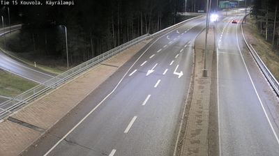
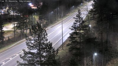


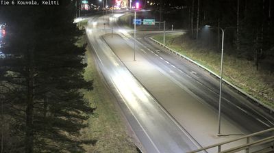

Set along the Kymijoki River in southeastern Finland, Kouvola is a place whose character is shaped by its position between major rail corridors and the forests and lakes of Kymenlaakso. The modern city grew around an important railway junction, and rail connections remain central to its identity. Beyond the centre, the municipality extends into a broad wooded area of waterways and former industrial communities. Verla Groundwood and Board Mill, a UNESCO World Heritage Site, preserves a 19th-century mill complex and workers’ settlement, recalling the forest industry that transformed this part of Finland. Repovesi National Park lies north of the urban area, with rugged lakeshore terrain and marked hiking routes. Discover further webcams throughout southeastern Finland to place Kouvola in its broader regional context.
24 webcams
Among Finland’s regions, Kymenlaakso stands out for the Kymi River’s branching course towards the Gulf of Finland. In the southeast, this waterway has long influenced settlement, industry and recreation, while the coast around Kotka brings harbours, islands and Baltic horizons into the region’s character. Inland, forest and lake country extends towards Kouvola. Near the city, the Verla Groundwood and Board Mill, a UNESCO World Heritage Site, preserves a remarkably complete 19th-century mill community and reflects the importance of wood processing in this part of Finland. Explore nearby webcam locations that provide complementary perspectives on Kymenlaakso’s river valleys and Baltic coast.
87 webcams
The terrain of Finland ranges from low coastal plains along the Gulf of Bothnia to fells in Lapland, creating a country of forests, lakes and long northern distances. More than 180,000 lakes shape everyday life, while the Lakeland region is threaded with waterways and islands. Helsinki, on the Gulf of Finland, combines neoclassical landmarks around Senate Square with contemporary Finnish design. Farther north, the Sámi are Finland’s only recognised Indigenous people, and their culture remains closely connected to the Arctic region. In winter, snow and ice transform the north; in summer, long daylight extends outdoor life well into the evening. Continue through nearby webcams to explore different parts of Finland.
1.7K webcams