 Tammela: Tie 10 - Heinivaho - Turkuun
Tammela combines the quiet of a forested rural municipality with the through-traffic of Highway 10 in a way that reflects its geographic position between Forssa and Hämeenlinna in southern Finland. The road crosses a Kanta-Häme landscape of commercial woodland, fields and lakes. Tammela is closely associated with Liesjärvi and Torronsuo national parks, which protect lake-and-forest terrain and an extensive raised bog. The municipal centre stands beside Lake Pyhäjärvi, while the old Hämeen Härkätie route connects the area with the historic road corridor between Turku and Hämeenlinna. This is a low-density Finnish interior shaped by forests, wetlands and small settlements.
Generated by AI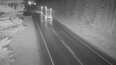



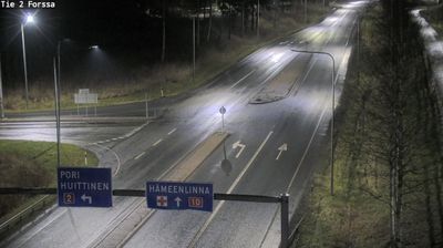
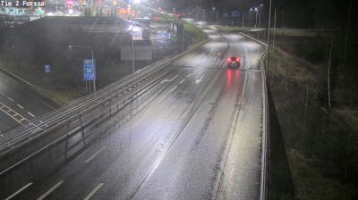
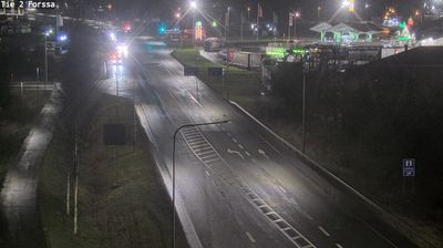

The landscape around Tammela is a mosaic of forests, lakes and peatlands, which has shaped both the dispersed settlement pattern and traditional rural livelihoods. The municipal centre stands near Lake Pyhäjärvi in Kanta-Häme, southwest of Forssa. Two national parks underline the area’s varied terrain: Liesjärvi preserves woodland and lake country, while Torronsuo protects an extensive raised bog. Mustiala is an important local landmark, as Finland’s first agricultural school was established there in 1840. Hiking, paddling and cross-country skiing suit the changing seasons, yet Tammela remains above all a working Finnish countryside. Discover how Tammela belongs to the wider lake-and-forest country of Kanta-Häme by browsing webcams nearby.
2 webcams
Kanta-Häme has served as the historic heartland of Häme in southern Finland since the Middle Ages. Its gently rolling countryside is threaded by lakes and farmland, with Lake Vanajavesi forming a defining waterway around Hämeenlinna, the regional centre. The city’s Häme Castle, a medieval brick fortress beside the lake, recalls the period when Swedish rule extended into inland Finland. Beyond the city, woodland, fields and small settlements shape a measured rural character, while Liesjärvi National Park protects lakeside forest and traditional landscapes. Discover other points of interest through webcams located across Kanta-Häme.
35 webcams
The terrain of Finland ranges from low coastal plains along the Gulf of Bothnia to fells in Lapland, creating a country of forests, lakes and long northern distances. More than 180,000 lakes shape everyday life, while the Lakeland region is threaded with waterways and islands. Helsinki, on the Gulf of Finland, combines neoclassical landmarks around Senate Square with contemporary Finnish design. Farther north, the Sámi are Finland’s only recognised Indigenous people, and their culture remains closely connected to the Arctic region. In winter, snow and ice transform the north; in summer, long daylight extends outdoor life well into the evening. Continue through nearby webcams to explore different parts of Finland.
1.7K webcams