 Lohtaja: Tie8 - Tienpinta
Lohtaja straddles Highway 8 on the Gulf of Bothnia coastal plain in Central Ostrobothnia, a position that has linked the community with Kokkola and Finland’s west-coast road network. Formerly an independent municipality, Lohtaja became part of the City of Kokkola in 2009 while retaining a strong local identity. The wooden Lohtaja Church, completed in 1806, stands at the heart of the historic settlement. West of the village, the Vattajanniemi coastal area brings together dunes, shore meadows and forests on a shoreline continually altered by post-glacial land uplift. Fields and woodland around the built-up area underline the rural character of this northern Finnish coastal district.
Generated by AI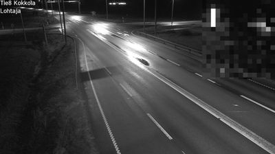

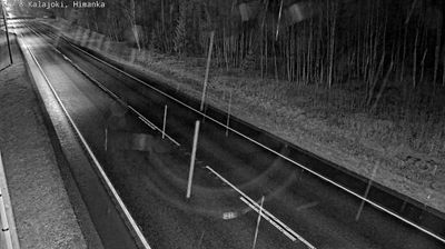
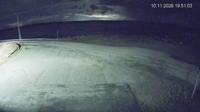
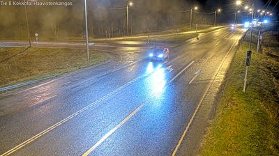
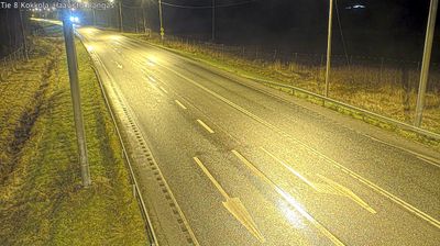
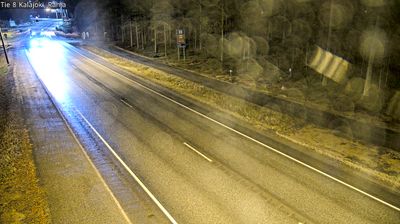
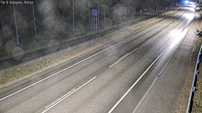

The Gulf of Bothnia defines the setting of Lohtaja — its low coast, open farmland and shore forests shape daily life on Finland’s western seaboard. South of the settlement, the Vattaja area is known for its extensive sandy beach and dune habitats; it is also used as a Finnish Defence Forces training area. Lohtaja’s wooden church stands at the centre of the former municipality, which became part of Kokkola in 2009. Browse other webcams across Finland’s Gulf of Bothnia coast to place Lohtaja in a wider geographic context.
1 webcam
The terrain of Central Ostrobothnia ranges from low, open coastal plains in the west to forests and peatlands in the eastern interior, creating broad horizons and a spacious, level character. On the Gulf of Bothnia, Kokkola combines an active port with Neristan, a preserved district of historic wooden houses. The Perho River runs across the region towards the coast. Further inland, Kaustinen is internationally known for its fiddle-playing traditions, added to UNESCO’s Representative List of the Intangible Cultural Heritage of Humanity in 2021. Explore nearby webcam locations that provide complementary perspectives on Central Ostrobothnia and the Gulf of Bothnia coast.
22 webcams
The terrain of Finland ranges from low coastal plains along the Gulf of Bothnia to fells in Lapland, creating a country of forests, lakes and long northern distances. More than 180,000 lakes shape everyday life, while the Lakeland region is threaded with waterways and islands. Helsinki, on the Gulf of Finland, combines neoclassical landmarks around Senate Square with contemporary Finnish design. Farther north, the Sámi are Finland’s only recognised Indigenous people, and their culture remains closely connected to the Arctic region. In winter, snow and ice transform the north; in summer, long daylight extends outdoor life well into the evening. Continue through nearby webcams to explore different parts of Finland.
1.7K webcams