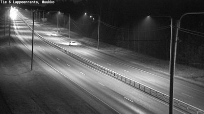
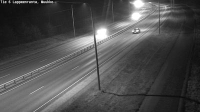
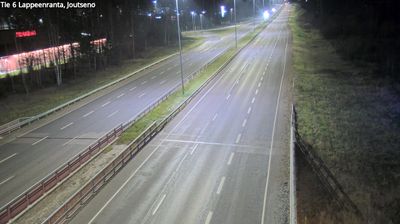
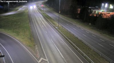
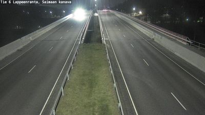
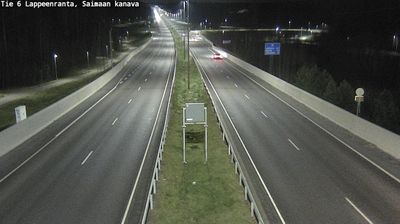
 Lappeenranta: Tie 6 - Muukon suora - Imatralle
Lake Saimaa defines the setting of Lappeenranta — its broad southern shore gives this South Karelian city a distinctly waterside identity. Finland’s largest lake has long linked the town to the inland lake district, while the Saimaa Canal connects these waters with the Gulf of Finland. Lappeenranta developed as a trading centre and retains the Lappeenranta Fortress, an 18th-century fortification on a promontory above the harbour. The fortress quarter brings together ramparts, museums and older buildings, contrasting with the city’s modern centre. Beyond the built-up shore lies a mosaic of islands, channels and wooded mainland typical of the Saimaa region. Route 6 passes through the Muukko area south of the urban core, where road infrastructure meets this forested landscape.
Generated by AI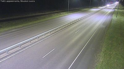

Lappeenranta straddles the southern shore of Lake Saimaa in South Karelia, where Finland’s largest lake has shaped it into a regional centre close to the Russian border. The city received its charter in 1649, and the Lappeenranta Fortress preserves streets and ramparts from the era when this frontier town passed between Swedish and Russian rule. Within the fortress, the Orthodox Church of the Intercession, completed in 1785, is Finland’s oldest Orthodox church. Saimaa’s linked waterways and harbour give the centre a lively waterside rhythm in summer, while museums and cafés occupy historic fortress buildings. Discover further points of interest through webcams located across Lappeenranta and South Karelia.
31 webcams
Lake Saimaa and the Vuoksi waterway define much of South Karelia – their shores, forests and channels have long supported forestry, boating and lakeside settlement. In southeastern Finland, the region borders Russia and centres on Lappeenranta, a university city on the lake. Its Lappeenranta Fortress preserves the old town’s military past, while the Saimaa Canal links the lake system towards the Gulf of Finland. Imatra is known for the Imatrankoski rapids, where the Vuoksi leaves Saimaa. Karelian food traditions remain part of local identity, notably filled rye pastries. Continue with other webcams from the area to see how this part of South Karelia connects regionally.
48 webcams
The terrain of Finland ranges from low coastal plains along the Gulf of Bothnia to fells in Lapland, creating a country of forests, lakes and long northern distances. More than 180,000 lakes shape everyday life, while the Lakeland region is threaded with waterways and islands. Helsinki, on the Gulf of Finland, combines neoclassical landmarks around Senate Square with contemporary Finnish design. Farther north, the Sámi are Finland’s only recognised Indigenous people, and their culture remains closely connected to the Arctic region. In winter, snow and ice transform the north; in summer, long daylight extends outdoor life well into the evening. Continue through nearby webcams to explore different parts of Finland.
1.7K webcams