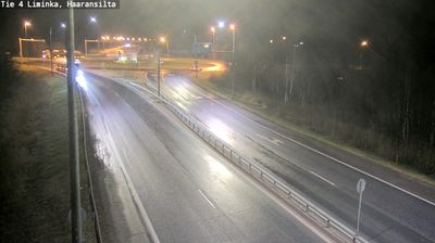
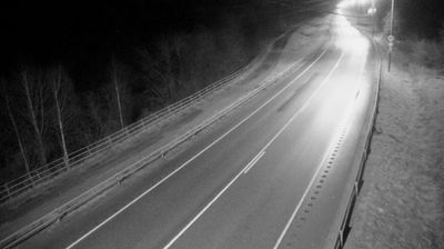
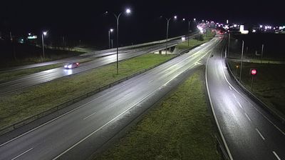
 Liminka: Tie4 - Haaransilta - Tienpinta
Liminganlahti Bay defines the setting of Liminka — its broad, low-lying coastal plain extends inland from one of Finland’s most important wetland areas. The municipality lies south of Oulu in North Ostrobothnia, where National Road 4 forms a key north–south link on the Finnish mainland. Liminganlahti is renowned for birdlife and protected shore meadows, while the surrounding terrain is shaped by fields, forests and scattered settlement rather than steep relief. Liminka’s wooden church, completed in 1826, is a local landmark reflecting the long-established parish at the head of the bay.
Generated by AI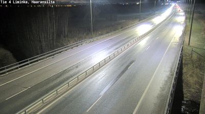

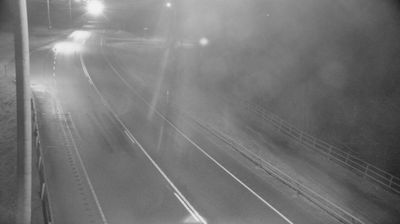
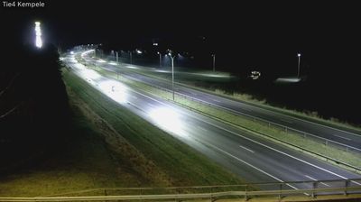
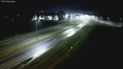
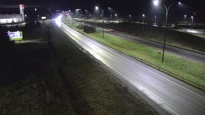

Liminganlahti Bay defines the setting of Liminka — its shallow waters, reed beds and coastal meadows shape life in this low-lying municipality on the northern Gulf of Bothnia. The bay is one of Finland’s best-known birdwatching areas, particularly during spring and autumn migration, when waterbirds and waders use its wetlands. Liminka lies in North Ostrobothnia, south of Oulu, where land uplift gradually continues to alter the Baltic coastline. In the centre, Liminka Church, a wooden church completed in 1826 to plans by Carl Ludvig Engel, recalls the area’s older parish history. Explore additional webcams nearby to better understand how Liminka and the northern Gulf of Bothnia relate to their surroundings.
7 webcams
North Ostrobothnia stretches from the Gulf of Bothnia coast to forested uplands near Finland’s eastern border, encompassing low river plains, peatlands and northern boreal wilderness. The Oulujoki flows through the regional capital, Oulu, before reaching the sea; the city was founded in 1605 and remains an important centre for northern Finland. Inland, Kuusamo and the Ruka area bring a more rugged character, with extensive forests and a strong winter-sports tradition. Along the coast, open horizons and changing Baltic conditions shape daily life. Discover other points of interest through webcams located across North Ostrobothnia.
259 webcams
The terrain of Finland ranges from low coastal plains along the Gulf of Bothnia to fells in Lapland, creating a country of forests, lakes and long northern distances. More than 180,000 lakes shape everyday life, while the Lakeland region is threaded with waterways and islands. Helsinki, on the Gulf of Finland, combines neoclassical landmarks around Senate Square with contemporary Finnish design. Farther north, the Sámi are Finland’s only recognised Indigenous people, and their culture remains closely connected to the Arctic region. In winter, snow and ice transform the north; in summer, long daylight extends outdoor life well into the evening. Continue through nearby webcams to explore different parts of Finland.
1.7K webcams