 Hartola: Tie 4 - Pohjola - Jyväskylään
Hartola lies along the Tainionvirta River in Finland’s Päijät-Häme region, where cultivated fields break up the broad forests of the Finnish Lakeland. The municipality is crossed by Finnish National Road 4, one of the country’s principal north–south routes, and its settlement pattern remains distinctly rural beyond the compact church village. Lakes and wooded shores shape the surrounding terrain, while the Tainionvirta connects local waters toward Lake Päijänne. Hartola’s centre is marked by its church and traditional parish landscape; the phrase Hartolan kuningaskunta, or Kingdom of Hartola, remains a familiar part of local identity. It is a quiet part of southern Finland shaped by roads, farms, forest and water.
Generated by AI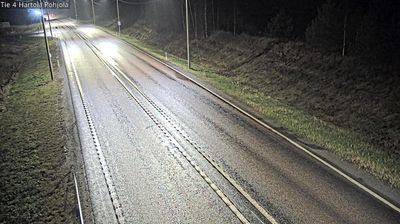
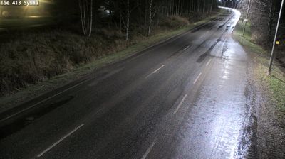
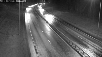
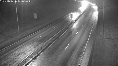

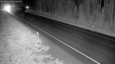

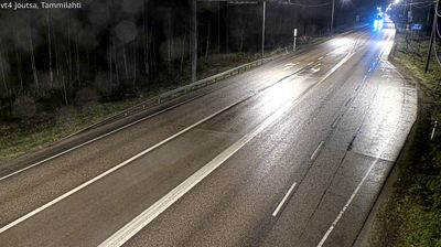

Among the communities of Mainland Finland, Hartola stands out for the Tainionvirta River, which passes through the settlement from Lake Jääsjärvi. It belongs to the Finnish Lakeland, a region of wooded shores, waterways and summer cottages where life follows the seasonal rhythm of the water. Boating, fishing and paddling are part of the area's outdoor character, while the wooden Hartola Church provides a focal point in the centre. Hartola is also known as the Kingdom of Hartola, a local identity associated with King Gustav III and the late 18th century. Continue through nearby webcams to explore different parts of Hartola and Finnish Lakeland.
4 webcams
Lake Päijänne and the Salpausselkä ridges define much of Päijät-Häme - waterways, forests and settled shores shape daily life, outdoor recreation and the regional economy. Lahti, the regional centre, stands beside Lake Vesijärvi, while the Vääksy Canal links its waters with Lake Päijänne. The Salpausselkä ridges are prominent glacial formations that give the area its rolling relief. Lahti is closely associated with Nordic skiing and has hosted the FIS Nordic World Ski Championships several times; its ski-jumping towers remain a familiar local landmark. Beyond the city, boating, summer cottages, farmland and wooded lake shores mark the transition towards Finland’s interior. Find related webcams in the surrounding area to build a fuller picture of Päijät-Häme.
47 webcams
The terrain of Finland ranges from low coastal plains along the Gulf of Bothnia to fells in Lapland, creating a country of forests, lakes and long northern distances. More than 180,000 lakes shape everyday life, while the Lakeland region is threaded with waterways and islands. Helsinki, on the Gulf of Finland, combines neoclassical landmarks around Senate Square with contemporary Finnish design. Farther north, the Sámi are Finland’s only recognised Indigenous people, and their culture remains closely connected to the Arctic region. In winter, snow and ice transform the north; in summer, long daylight extends outdoor life well into the evening. Continue through nearby webcams to explore different parts of Finland.
1.7K webcams