 Heinola: Tie 4 - Vahravuori - Jyväskylään
The landscape around Heinola is forested and threaded by lakes, which has shaped both the built environment and local life. The town stands on the Kymijoki watercourse, where Jyrängönvirta links Lake Ruotsalainen with Lake Konnivesi. Heinola was founded in 1776 as an administrative centre under King Gustav III, and its older districts differ markedly from the later development along Route 4. This highway forms part of Finland’s principal north–south road corridor, yet the surrounding woodland and waterways keep the setting closely connected to Päijät-Häme. Heinola also has a National Urban Park, bringing protected green areas and cultural heritage together within the town.
Generated by AI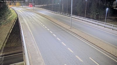
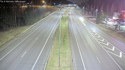
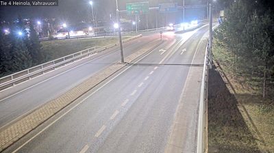
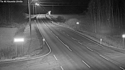
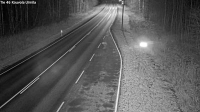
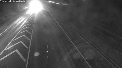
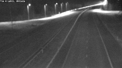

Tucked along the Kymijoki River beside Lake Ruotsalainen, Heinola is a town whose character is shaped by the waterways of the Finnish Lakeland. The river connects the town to the wider lake system around Lake Päijänne, while rapids and wooded shores give the centre a strongly waterside setting. Founded in 1776 as an administrative centre under King Gustav III, Heinola developed around broad streets and civic buildings. The Heinola Canal, first opened in 1832, recalls the long effort to make these inland waters navigable. Boating, swimming and riverside walks define the summer rhythm; winter brings a quieter scene of snow and ice. Continue through nearby webcams to explore different parts of Heinola and the Finnish Lakeland.
4 webcams
Lake Päijänne and the Salpausselkä ridges define much of Päijät-Häme - waterways, forests and settled shores shape daily life, outdoor recreation and the regional economy. Lahti, the regional centre, stands beside Lake Vesijärvi, while the Vääksy Canal links its waters with Lake Päijänne. The Salpausselkä ridges are prominent glacial formations that give the area its rolling relief. Lahti is closely associated with Nordic skiing and has hosted the FIS Nordic World Ski Championships several times; its ski-jumping towers remain a familiar local landmark. Beyond the city, boating, summer cottages, farmland and wooded lake shores mark the transition towards Finland’s interior. Find related webcams in the surrounding area to build a fuller picture of Päijät-Häme.
47 webcams
The terrain of Finland ranges from low coastal plains along the Gulf of Bothnia to fells in Lapland, creating a country of forests, lakes and long northern distances. More than 180,000 lakes shape everyday life, while the Lakeland region is threaded with waterways and islands. Helsinki, on the Gulf of Finland, combines neoclassical landmarks around Senate Square with contemporary Finnish design. Farther north, the Sámi are Finland’s only recognised Indigenous people, and their culture remains closely connected to the Arctic region. In winter, snow and ice transform the north; in summer, long daylight extends outdoor life well into the evening. Continue through nearby webcams to explore different parts of Finland.
1.7K webcams