 Rio Negro: Camping des Abers
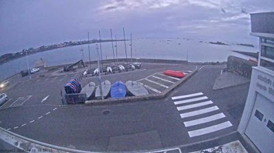
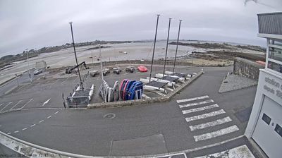
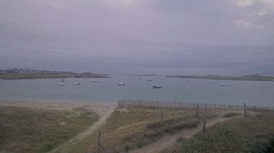
Aber Benoît defines the setting of Landéda — this tidal estuary gives the commune a deeply indented edge between the English Channel and the inland farmland of northwestern Finistère. Landéda occupies the coast between the Aber Benoît and Aber-Wrac’h, two of Brittany’s distinctive abers: long river valleys flooded by the sea. The port of Aber-Wrac’h, on the eastern estuary, serves recreational boating, while the surrounding shores retain a mix of small settlements, fields and coastal paths. Breton place names are woven into everyday geography here, reflecting the region’s enduring cultural identity. Camping des Abers belongs to this low-rise coastal setting rather than an urban waterfront.
Generated by AI





Few cities in Paraná have a history as closely tied to the settlement of the state border with Santa Catarina as Rio Negro. The Rio Negro river runs beside the city and separates it from Mafra on the opposite bank, making the two urban centres closely connected despite belonging to different states. This borderland was affected by the long Paraná–Santa Catarina territorial dispute, resolved by an agreement in 1916 after the Contestado conflict. Today, Rio Negro is a small southern Brazilian city whose identity is shaped by river geography, regional ties and its place on a historic state boundary. View additional webcams nearby to better understand how Rio Negro relates to the Paraná–Santa Catarina borderlands.
1 webcam
Among Brazil’s states, Paraná stands out for its span from the Atlantic coast across the Serra do Mar to the Paraná River. Forested uplands, farming country and major cities give this southern state a varied character, while the Paraná River marks much of its western frontier. In the southwest, Iguaçu National Park contains Brazil’s side of Iguaçu Falls and is recognised as a UNESCO World Heritage site. Curitiba, the state capital, reflects the immigrant traditions that have shaped Paraná, including Polish, Ukrainian, Italian and German communities. Explore related webcams around Paraná to gain a broader sense of this southern Brazilian state.
27 webcams
Brazil has served as a Portuguese colonial link between Europe and South America since the 16th century. Its immense territory extends from the Amazon River basin in the north to the Atlantic coast, with the Pantanal wetlands and Brazilian Highlands creating very different regions inland. Rio de Janeiro sits beside Guanabara Bay beneath Sugarloaf Mountain, while Brasília is known for its planned layout and modernist buildings by Oscar Niemeyer. Portuguese is the official language, and football, regional cuisines and Carnival celebrations are central to public life across the country. Continue through nearby webcams to explore different parts of Brazil.
145 webcams