 Jåterud: Hurdalsjøen
Hurdalsjøen straddles the municipal boundary between Hurdal and Eidsvoll in Akershus, and its elongated freshwater basin has drawn homes, farms and local roads to the wooded shoreline. The lake belongs to the Glomma drainage system and forms a central feature of the rural district north of Oslo. Forested hills and small pockets of settlement, rather than dense development, define its shores. Hurdal is also associated with Hurdal Verk, a glassworks founded in 1755 and a reminder of the area’s industrial past. Today, Hurdalsjøen is used for boating, fishing and recreation by the water, while its surrounding roads connect lakeside communities with the inland valleys of eastern Norway.
Generated by AI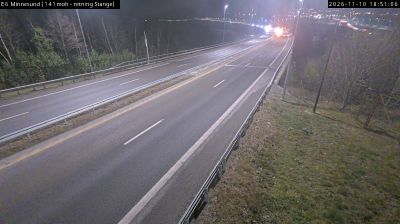
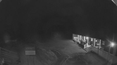
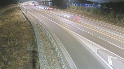

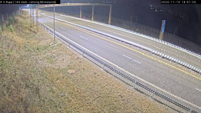
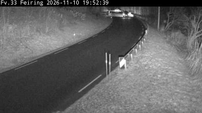
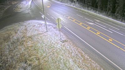

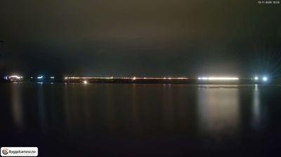
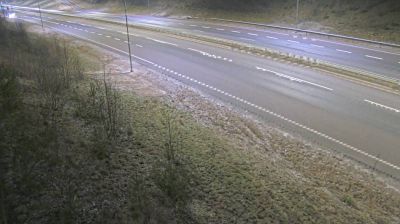

Among the settlements of eastern Norway, Jaterud stands out for its quiet setting in the forested uplands around Lake Hurdalssjøen. This is a rural part of Akershus, where woodland, small farms and scattered homes shape the local character more than dense urban development. The area belongs to the inland landscape north of Oslo, with seasonal changes that are central to everyday life: long winters, bright summer evenings and autumn forests. Outdoor recreation is an important part of Norwegian culture here, from walks and skiing to time spent by the water. Continue through nearby webcams to explore different parts of Hurdal and eastern Norway.
1 webcam
The terrain of Akershus ranges from cultivated lowlands beside the Oslofjord in the west to forested hills and river valleys in the east and north, giving the county both coastal and inland character. Encircling much of Oslo, it links the capital with farmland, woodland and growing towns. The Glomma, Norway’s longest river, runs along parts of Akershus’s eastern side. At Eidsvoll, the Norwegian Constitution was adopted in 1814, a defining moment in the country’s modern history. Explore nearby webcam locations that provide complementary perspectives on Akershus.
53 webcams
Norway has served as a seafaring link between the North Atlantic and northern Europe since the Viking Age. Its long coastline is cut by fjords, while the Lofoten archipelago rises sharply from the Norwegian Sea and the mountains of Jotunheimen include Galdhøpiggen, Norway’s highest peak. Bergen’s Bryggen, the former Hanseatic wharf, recalls centuries of maritime trade. Farther north, Sámi culture remains an essential part of the country’s identity. Explore nearby webcam locations that provide complementary perspectives on Norway’s coast, fjords and mountain regions.
1.5K webcams