 Innsbruck: Hungerburg, Hungerburg Station

Innsbruck lies along the Inn River, where the broad Alpine valley meets the steep limestone flanks of the Nordkette in the Karwendel range. Above the city, Hungerburg is a hillside district reached by the Hungerburgbahn, the funicular linking Innsbruck with the Nordkette cable-car system. Its stations were designed by architect Zaha Hadid; the Hungerburg stop is distinguished by a flowing, shell-like roof that makes the route a notable work of contemporary architecture. The Nordkette forms Innsbruck’s northern edge, while the Inn valley has long made the city an important Tyrolean crossroads between Alpine regions. Hungerburg clearly conveys the close relationship between Innsbruck’s compact valley setting and the mountains rising directly above it.
Generated by AI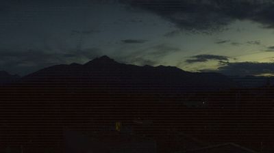
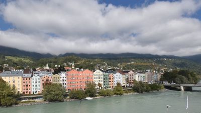
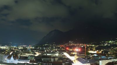
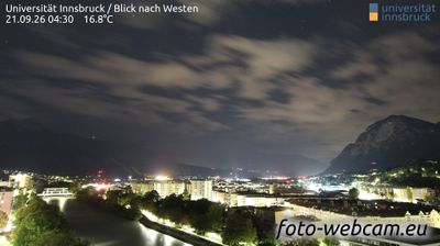
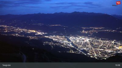
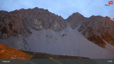
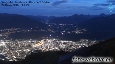
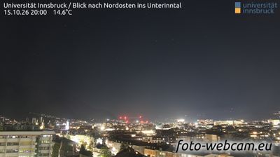


Innsbruck, tucked into the Inn Valley beneath the Nordkette range, is a city whose character is shaped by its Alpine setting. As Tyrol’s capital, it combines a compact historic centre with mountain infrastructure close to the urban core. The Golden Roof, completed around 1500 for Emperor Maximilian I, remains the Old Town’s best-known landmark, while the Imperial Palace recalls the Habsburg presence. The Nordkette cable railway links the city with high Alpine terrain, and Innsbruck’s two Winter Olympic Games, in 1964 and 1976, left a lasting sporting identity. Continue with other webcams from the area to see how this part of Tyrol connects regionally.
9 webcams
Tyrol combines an energetic alpine identity with an established urban culture in a way that reflects its position within the central Eastern Alps. Innsbruck, the regional capital on the River Inn, lies beneath the Nordkette range and brings imperial-era architecture into close contact with high mountain terrain. Its Golden Roof remains one of the city’s best-known historic landmarks, while the surrounding valleys connect settlements, ski areas and hiking country across the region. Continue through nearby webcams to explore different parts of Tyrol.
674 webcams
Austria stretches from the Bohemian Massif along its northern edge to the Carnic Alps on the Italian border, encompassing high Alpine ranges and the Danube lowlands. The Danube links cities including Linz and Vienna, while the Grossglockner, at 3,798 metres, is the country’s highest mountain. Vienna developed for centuries as the seat of the Habsburg court, leaving imperial architecture around the Hofburg and Schönbrunn Palace. Salzburg is closely associated with Wolfgang Amadeus Mozart, who was born there in 1756. Alpine Tyrol, wine-growing areas east of Vienna and the lakes of Salzkammergut add markedly different regional identities. Browse other webcams across Austria to place this setting in a wider geographic context.
3.1K webcams