 Nazare: Farol da Nazaré - Praia do Norte - North Atlantic Ocean
The landscape around Nazaré is defined by the North Atlantic, limestone cliffs and a broad sandy shore, which have shaped both the built environment and local life. Praia do Norte lies below the headland of Sítio, where the Farol da Nazaré stands within the Forte de São Miguel Arcanjo. This coast is closely associated with the Nazaré Canyon, a submarine canyon whose interaction with Atlantic swells can produce exceptionally large surf. Nazaré’s older quarters retain a strong fishing identity, expressed in market culture and the traditional seven-skirt costume worn by some local women. The town combines a working harbour and beach with the cliff-top Sítio district, long linked to pilgrimage to Our Lady of Nazaré.
Generated by AI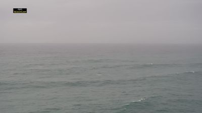

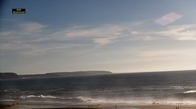

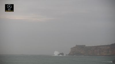
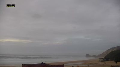
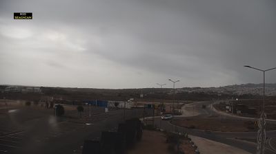


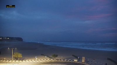

The Atlantic coast defines much of Nazaré – its fishing heritage now shares the shoreline with beach tourism and internationally known big-wave surfing. On the town’s northern edge, Praia do Norte faces the Nazaré Canyon, an underwater canyon that can amplify Atlantic swells and has made this stretch a focal point of the big-wave season. South of the headland, the broad main beach is framed by the older waterfront and lower town. The clifftop district of Sítio is home to the Sanctuary of Our Lady of Nazaré, a major Portuguese pilgrimage site. Fishing boats, dried fish and seafood remain central to local identity. Browse additional webcams around Nazaré to follow Portugal’s central Atlantic coast.
5 webcams
Built around a hilltop fortress above the Lis River, Leiria grew into a regional administrative and commercial centre of central Portugal. The Castle of Leiria, begun under Portugal’s first king, Afonso Henriques, still defines the old town, where medieval walls overlook streets and squares below. The Lis crosses the city before continuing west towards the Atlantic, connecting this inland setting with the coast. Leiria’s district also includes the UNESCO-listed Monastery of Batalha, one of Portugal’s major Gothic monuments. Its position between Lisbon and Coimbra has long made it a practical stop on journeys through the country’s centre. Browse additional webcams from the surrounding area to extend your view of Leiria.
17 webcams
Portugal has served as an Atlantic maritime link between Europe, Africa and the Americas since the 15th century. The Atlantic shapes its western and southern shores, while the Douro crosses northern wine country on its way to Porto and the Tagus meets the sea in Lisbon. Belém Tower and the Jerónimos Monastery recall the seaborne expansion of the Portuguese crown, and their Manueline stonework remains a defining feature of the capital. Beyond the cities, the Algarve is known for beaches and limestone cliffs, while Serra da Estrela introduces a highland counterpoint inland. Azulejo tiles, fado and Port wine are enduring elements of Portuguese culture. Find related webcams in the surrounding area to build a fuller picture of Portugal’s Atlantic coast and interior.
176 webcams