 Durankulak: © ДУРАНКУЛАК УЕБ КАМЕРА ВРЕМЕТО 'ТУЗЛАТА' ЕЗЕРО
Durankulak occupies a low coastal plain beside Durankulak Lake on Bulgaria’s northern Black Sea coast in Dobrich Province. A narrow sandy barrier separates this shallow coastal lagoon from the open sea, creating a shoreline shaped by fishing activity, reeds and wetlands. The lake lies on the Via Pontica migration route and is an important stop for waterbirds moving between Europe and Africa. Durankulak is also known for the archaeological complex on Big Island in the lake, where Neolithic and Chalcolithic settlements and a large prehistoric necropolis have been excavated. This is a quiet edge of the Bulgarian coast where maritime work, wetland habitat and deep prehistory meet.
Generated by AI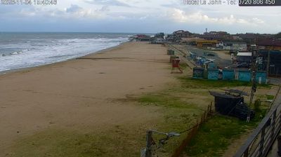

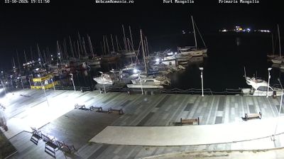

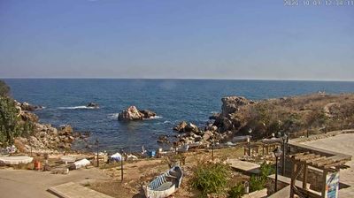


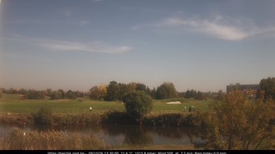

Durankulak combines a quiet frontier atmosphere with the ecological significance of a Black Sea wetland, reflecting its position on Bulgaria’s far northeastern coast near Romania. The village stands beside Durankulak Lake, a coastal lagoon separated from the sea by a narrow sandy barrier. Its reed beds and open water form part of the Via Pontica migration corridor, bringing travelling birds through the region in spring and autumn. On the lake’s Big Island, the Durankulak archaeological complex preserves remains of a prehistoric settlement and cemetery, placing this small coastal community within the early human story of the western Black Sea. Discover how Durankulak belongs to the wider Dobrich region and northern Black Sea coast by browsing webcams nearby.
1 webcam
Dobrich stretches from its central boulevards into the broad Dobrudzha Plain, encompassing an urban centre set amid one of Bulgaria’s principal grain-growing districts. Located inland from the Black Sea in the historic region of Southern Dobruja, the city is the administrative centre of Dobrich Province and an important hub for the northeast. Wheat and sunflower fields define the surrounding countryside, while the coast around Balchik and Cape Kaliakra adds cliffs, small bays and maritime heritage to the wider region. Southern Dobruja was part of Romania from 1913 until 1940, a period central to its modern history. Continue through nearby webcams to explore different parts of Dobrich and Southern Dobruja.
6 webcams
Bulgaria occupies the eastern Balkan Peninsula in southeastern Europe. The Danube marks much of its northern border, while the Black Sea shapes a long eastern coastline of ports, beach resorts and historic towns. Inland, the Rila Mountains rise to Musala, at 2,925 metres the highest peak in Bulgaria and on the Balkan Peninsula. Sofia is anchored by the monumental Alexander Nevsky Cathedral, and Plovdiv preserves a remarkably well-preserved Roman theatre above its old town. Across the country, Orthodox traditions, rose-oil production in the Rose Valley and a cuisine shaped by Balkan, Ottoman and Slavic influences give travel a distinctly local character. Explore nearby webcam locations that provide complementary perspectives on Bulgaria’s Black Sea coast, mountain ranges and Danube plain.
89 webcams