 Juist: Haus Sameland
Juist occupies a narrow barrier island in Lower Saxony’s Wadden Sea. Between the North Sea and the tidal flats, low dune ridges, broad beaches and salt-influenced vegetation create a terrain continually shaped by sand and tides. The main settlement lies behind the seaward dunes, where residential lanes and visitor facilities form a compact island community. Juist is largely car-free, making walking, cycling and horse-drawn carriages central to getting around. The German-Dutch Wadden Sea was inscribed on UNESCO’s World Heritage List in 2009 in recognition of its internationally important intertidal ecosystem. Juist represents the East Frisian Islands through its open coast, dune habitats and deliberately unhurried settlement pattern.
Generated by AI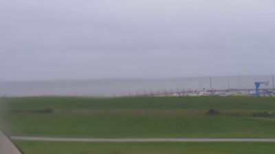

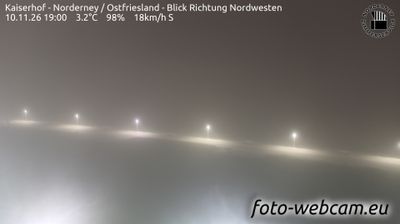
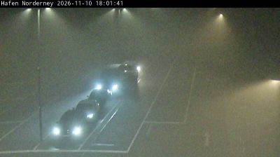
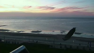
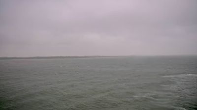

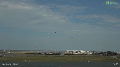
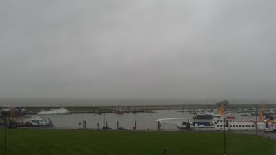

Among Lower Saxony’s communities, Juist stands out as a long, narrow East Frisian island where motor traffic is largely absent. Set between the North Sea and the Wadden Sea, it has a broad ocean-facing beach, while dunes, salt marshes and tidal flats shape its sheltered side. Juist lies within Lower Saxon Wadden Sea National Park, part of the UNESCO World Heritage-listed Wadden Sea, an intertidal environment transformed twice daily by the tides. Bicycles and horse-drawn carriages remain central to local transport, setting a notably unhurried pace. The island’s East Frisian identity is echoed in its nickname, Töwerland, meaning “magic land.” Discover how Juist belongs to the wider East Frisian Islands by browsing webcams nearby.
3 webcams
Lower Saxony extends from the North Sea coast to the Harz Mountains, encompassing Wadden Sea mudflats, broad lowlands and wooded uplands. At its northern edge, the Lower Saxon Wadden Sea forms part of the UNESCO-listed Wadden Sea, shaped twice daily by the tides. The Weser crosses the state on its way to the North Sea, while the Elbe marks much of its northeastern border. Inland, the Lüneburg Heath is associated with heather moorland and long-standing sheep farming. Hanover, the state capital, is known for the Herrenhausen Gardens, whose Great Garden is a major baroque ensemble. Explore further webcams across Lower Saxony to place the region in its wider geographic context.
198 webcams
Germany stretches from the North Sea and Baltic Sea coasts to the Alps on its southern border, encompassing northern plains, river valleys and forested uplands. The Rhine, Danube and Elbe have long connected its regions, while the Black Forest and Bavarian Alps give the south a more dramatic relief. Berlin’s Brandenburg Gate and Museum Island reflect the capital’s role in German history and culture. Cologne Cathedral, a UNESCO World Heritage Site, rises above the Rhine, and the Bauhaus movement, founded in Weimar in 1919, transformed modern design far beyond Germany. Regional cooking, Christmas markets and brewing traditions bring further character to daily life. Browse additional webcams from the surrounding area to extend your view of Germany.
2.8K webcams