 Klamath Falls: The Dalles-California Highway
The Klamath Basin defines the setting of Klamath Falls — its open interior floor and low encircling hills shape the city’s outward spread. The Dalles–California Highway, carried here by US 97 through the Green Springs interchange, is the principal north–south road through this part of southern Oregon, linking the city with Bend and the California line. Upper Klamath Lake lies northwest of town and is Oregon’s largest freshwater lake by surface area. Klamath Falls developed as a rail and timber centre, while the surrounding basin remains an important agricultural district. This highway corridor brings commercial areas, housing and open land together at the city’s edge.
Generated by AI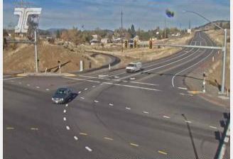
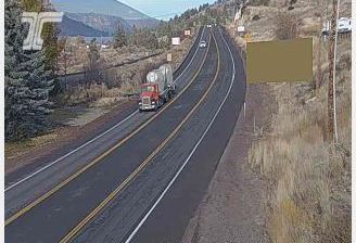

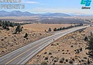
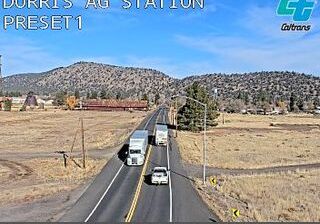

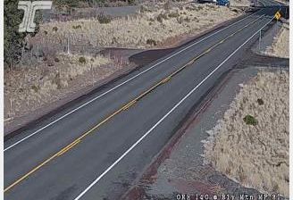
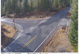

Klamath Falls straddles the Link River in southern Oregon, and its position between Upper Klamath Lake and Lake Ewauna has made it a focal point for the wider Klamath Basin. The city lies within the traditional homeland of the Klamath Tribes, while its modern centre grew from Linkville, a settlement established here in 1867. Wetlands around Upper Klamath Lake provide important habitat for migratory waterbirds, adding a distinctly high-desert and lake-country character to the area. The 1905 Baldwin Hotel remains a notable reminder of Klamath Falls’ early commercial life. Explore nearby webcam locations that provide complementary perspectives on Klamath Falls and southern Oregon.
4 webcams
The Cascade Range and high desert define much of Oregon, shaping a state where forestry, farming, hydropower and outdoor recreation are central to regional life. The Columbia River forms much of its northern border, while the Willamette Valley supports fertile farmland between the Cascades and the Coast Range. Oregon’s Pacific shore is marked by long beaches, headlands and working coastal towns, and Crater Lake preserves the deep caldera of Mount Mazama in the south. Oregon City is associated with the historic end of the Oregon Trail, a reminder of the migration that transformed the nineteenth-century American West. See how Oregon connects with the wider Pacific Northwest by browsing webcams nearby.
891 webcams
The Atlantic, Pacific and Gulf coasts define much of the United States — their ports, fisheries and trade routes have long tied the country’s economy to the wider world. Between them, the Rocky Mountains, Great Plains and Mississippi River basin form sharply different regions, from high western ranges to broad agricultural heartlands. Cities carry much of the national story: New York’s Statue of Liberty, a gift from France dedicated in 1886, remains an enduring symbol, while Washington, DC concentrates major federal institutions. Indigenous nations have shaped these lands for millennia, and their living cultures remain essential to the country’s identity. Find related webcams in the surrounding areas to build a fuller picture of the United States.
32K webcams