 Le Grau-du-Roi: Yacht Club 2000 - Port Camargue - La Marinette (navette portuaire)
Built around a natural channel between coastal lagoons and the Mediterranean, Le Grau-du-Roi grew into a fishing port and resort town. Port Camargue, developed from 1969 on the town’s eastern side, forms one of the Mediterranean’s largest marinas, with basins, breakwaters and a dense fleet of sailing boats. Its plan was shaped by architect Jean Balladur, also associated with nearby La Grande-Motte. La Marinette is the local harbour shuttle, linking points around the marina, while Yacht Club 2000 forms part of this boating-focused waterfront. Beyond the berths lie the sandy shore and lagoon country of the Camargue, a major wetland region of southern France.
Generated by AI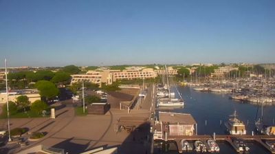
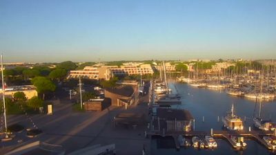





The Mediterranean Sea defines the setting of Le Grau-du-Roi — beaches, a working fishing harbour and Port-Camargue marina keep maritime life at the centre of town. At the western edge of the Camargue, the resort lies beside lagoons and wetlands linked to the Rhône delta, while Espiguette Beach leads towards an extensive coastal dune system. Port-Camargue was created in the 1960s to plans by architect Jean Balladur, whose modernist approach also shaped much of the waterfront. The Seaquarium introduces visitors to Mediterranean marine life, and fishing boats continue to supply local markets and restaurants. Discover other points of interest through webcams located across Le Grau-du-Roi and Occitanie.
3 webcams
Occitania occupies a broad southern belt in France, extending from the Massif Central and the Pyrenees to the Mediterranean coast. These coordinates lie in the inland Haut-Languedoc area, where wooded hills and reservoirs around the upper Agout contrast with coastal plains farther east. Toulouse, the regional capital, stands on the Garonne and is associated with the Canal du Midi, a 17th-century waterway linking the city with the Mediterranean and listed as a UNESCO World Heritage Site since 1996. Roman sites, fortresses connected with the Cathar past, and the Occitan language tradition reveal the many layers of southern French identity. Continue through nearby webcams to explore different parts of Occitania.
178 webcams
The Atlantic and Mediterranean coastlines, together with the Alps, Pyrenees and broad river basins, define much of France — they support maritime trade, farming, wine regions and travel throughout the year. The Seine runs through Paris, where the Eiffel Tower and the Louvre are among Europe’s most recognised landmarks. The Loire Valley is known for Renaissance châteaux, while Mont-Saint-Michel rises from a tidal bay in Normandy. Regional food traditions are equally distinctive, from Breton seafood to Provençal cooking, with bread, cheese and wine central to everyday life. France’s global cultural influence is evident in its language, literature, fashion and cinema. View additional webcams nearby to better understand how France’s coasts, plains and mountain borders relate to their surroundings.
1.8K webcams