 Bolken: Etziken
Built around an agricultural settlement, Etziken developed into a small rural municipality on the Swiss Plateau in the canton of Solothurn. It lies in the Wasseramt, a lowland district between the Jura Mountains and the Emmental hills, where open fields and scattered farm buildings remain central to the local settlement pattern. Close to Bolken, Etziken belongs to a working agricultural area rather than an alpine resort landscape. Cultivated land, modest residential streets, roads and power infrastructure connect these smaller communities across the central Swiss Mittelland. German is the everyday language, reflecting the cultural character of this part of Solothurn.
Generated by AI
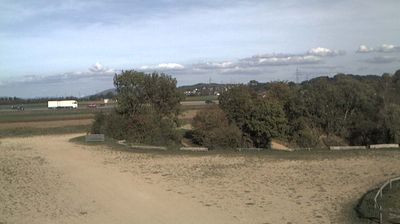
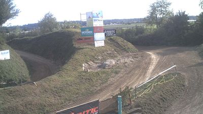
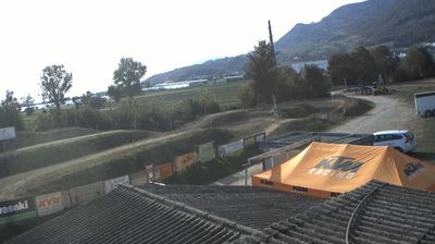


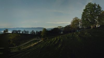
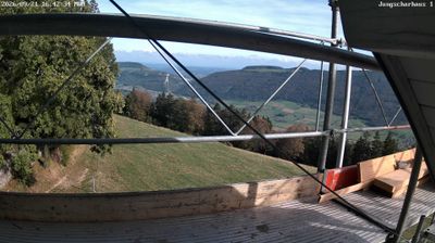

The Swiss Plateau defines the setting of Bolken — open farmland, gently rolling ground and scattered farm buildings give this small municipality in Solothurn its distinctly rural rhythm. The Jura Mountains rise to the northwest, while the nearby city of Solothurn connects the area to one of Switzerland’s best-known Baroque townscapes. Bolken belongs to the Wasseramt district, a countryside region where agriculture remains an important part of the local character. Its quiet lanes and broad fields present a measured contrast to the larger settlements of the Swiss Midlands. Browse additional webcams from the Solothurn area to extend your view of the Swiss Plateau.
1 webcam
Solothurn occupies a stretch of the Swiss Plateau and the southern Jura slopes in northwestern Switzerland. The canton ranges from wooded Jura ridges, including the Weissenstein above its capital, to productive lowlands along the Aare River. Solothurn city developed at an important Aare crossing and retains a remarkably coherent baroque centre. The 18th-century Cathedral of St Ursus is its defining monument. Small towns, farmland and industrial communities elsewhere reflect the region’s position between Basel, Bern and Zurich. Rail connections place Solothurn firmly within everyday Swiss travel, while Jura paths lead quickly into higher, forested terrain. Browse other webcams across Solothurn to place this setting in a wider geographic context.
14 webcams
Switzerland stretches from the Jura Mountains in the northwest to the Alps in the south, encompassing a central plateau of cities, farms and lakes. The Rhine rises in the Swiss Alps, while Lake Geneva forms part of the country’s southwestern border. Zürich, Geneva and Basel are major urban centres, yet mountain railways and passes remain central to how many regions are experienced. Four national languages—German, French, Italian and Romansh—reflect Switzerland’s distinct cantonal identities. The Matterhorn above Zermatt is among Europe’s most recognisable peaks, and the 1291 Federal Charter is closely associated with the country’s founding tradition. Continue through nearby webcams to explore different parts of Switzerland.
1.1K webcams