 Ilirska Bistrica: Trnovo
Ilirska Bistrica lies along the Reka River, between the forested Snežnik Plateau and the rolling Brkini Hills. This Slovenian town stands close to the Croatian border on the long-established corridor linking the country’s interior with the Kvarner coast. Its built-up centre spreads beside the main road in a setting of low hills, fields and woodland rather than dense urban blocks. The Reka continues southwest towards the Škocjan Caves, where it disappears into the Karst underground. In the nearby village of Prem, Prem Castle preserves a medieval stronghold above the Brkini landscape, while the surrounding hills are known for orchards and fruit growing.
Generated by AI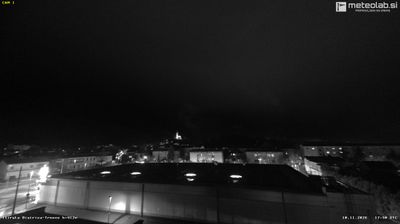


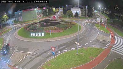



Ilirska Bistrica combines a compact urban centre with an emphatically rural setting in a way that reflects its position between the Brkini Hills and the Snežnik Plateau. The Reka River runs through the town before continuing toward the karst country of the Slovenian Littoral, linking this inland settlement to a landscape shaped by limestone and disappearing waters. Close to the Croatian border, Ilirska Bistrica has long stood on routes between central Slovenia and the Kvarner coast. Medieval Prem Castle, above the nearby village of Prem, recalls the area’s borderland past. Browse other webcams across southwestern Slovenia to place this setting in a wider geographic context.
7 webcams
Slovenia occupies a meeting point of the Alps, the Pannonian Plain, the Dinaric mountains and the Adriatic coast in south-central Europe. The Julian Alps rise in the northwest, where Triglav is the country’s highest mountain, while the Soča River is known for its clear turquoise water. Karst terrain has shaped caves such as Postojna Cave and the Škocjan Caves, a UNESCO World Heritage site. Ljubljana combines a riverside old town with works by architect Jože Plečnik; farther east, wine-growing regions and thermal springs add another dimension. Slovenian food reflects Alpine, Mediterranean and Balkan influences. Find related webcams in the surrounding area to build a fuller picture of Slovenia and the northern Adriatic.
766 webcams