 Berchtesgaden: Watzmannhaus - Blick auf Watzmannfrau und Hocheckaufstieg
Few places in Bavaria have a history as closely tied to salt mining as Berchtesgaden. The trade shaped the town for centuries and supported the former Prince-Provostry of Berchtesgaden, an independent ecclesiastical state until 1803. To the southwest, the Berchtesgaden Alps rise into the Watzmann massif, whose 2,713-metre summit is Germany’s highest peak lying wholly within the country. Much of this rugged limestone terrain belongs to Berchtesgaden National Park, established in 1978. Königssee, a long mountain lake enclosed by steep rock walls, is another defining feature of the area. Forest, scree, high ridges, paths and mountain huts connect the town with its Alpine surroundings.
Generated by AI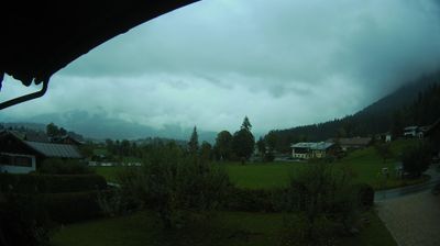
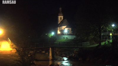
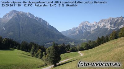
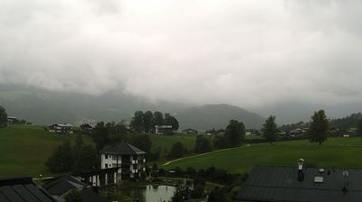
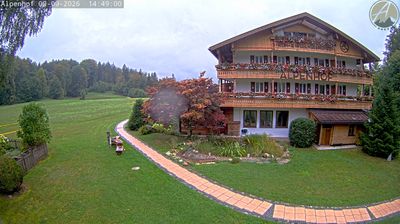
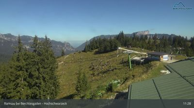

Berchtesgaden has served as a salt-mining and market centre in the Bavarian Alps since the Middle Ages. The Berchtesgadener Ache runs through the town beneath the high limestone walls of the Watzmann massif, one of the defining peaks of southeastern Bavaria. Salt has shaped local life for centuries, and the historic Salzbergwerk remains a reminder of the industry that brought lasting importance to the valley. In the centre, the former Augustinian provostry and its collegiate church reflect Berchtesgaden’s early ecclesiastical role. The town is also closely linked to Berchtesgaden National Park and the Königssee area. Continue with other webcams from the area to see how this part of the Bavarian Alps connects regionally.
5 webcams
Built around the early medieval Duchy of Bavaria, Bavaria grew into Germany’s largest federal state. The Danube crosses its broad centre, while the Bavarian Alps form its southern edge and include the Zugspitze, Germany’s highest mountain. Munich is the state capital and the home of Oktoberfest, a festival rooted in an 1810 royal wedding. Beyond the metropolis, Franconia’s vineyards, Swabian towns and Alpine resorts reveal how varied this part of Germany can be. Browse additional webcams from the surrounding area to extend your view of Bavaria.
861 webcams
Germany stretches from the North Sea and Baltic Sea coasts to the Alps on its southern border, encompassing northern plains, river valleys and forested uplands. The Rhine, Danube and Elbe have long connected its regions, while the Black Forest and Bavarian Alps give the south a more dramatic relief. Berlin’s Brandenburg Gate and Museum Island reflect the capital’s role in German history and culture. Cologne Cathedral, a UNESCO World Heritage Site, rises above the Rhine, and the Bauhaus movement, founded in Weimar in 1919, transformed modern design far beyond Germany. Regional cooking, Christmas markets and brewing traditions bring further character to daily life. Browse additional webcams from the surrounding area to extend your view of Germany.
2.7K webcams