 Boissy-l'Aillerie: Aeroclub Hispano-Suiza Pontoise vue Sud
Among the places of Île-de-France, Boissy-l'Aillerie stands out for its setting in the Viosne valley on the edge of the French Vexin. The commune lies northwest of Paris, where the built-up Paris Basin gives way to the rolling farmland and wooded pockets of the Vexin français. The Viosne, a tributary of the Oise, has long shaped settlement in this narrow valley, and the railway between Pontoise and Gisors follows the same corridor. Boissy-l'Aillerie's Saint-André church anchors the historic village, while the local airfield gives this small Val-d'Oise commune an unusual aviation role. It is a useful place for understanding the quieter rural side of Île-de-France beyond the capital's dense suburbs.
Generated by AI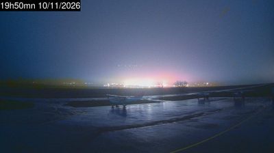
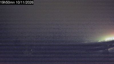
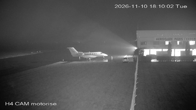
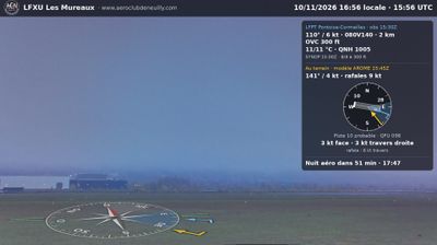




Boissy-l’Aillerie sits on the Viosne in Île-de-France, where the river’s narrow valley cuts through the farmland of the French Vexin. The commune lies in the Val-d’Oise department, northwest of Paris, within the Vexin français Regional Natural Park, an area of open fields, small woods and long-established settlement routes. The parish church of Saint-André marks the historic centre, while the Viosne valley connects the community with nearby Pontoise. A station on the Pontoise–Gisors railway line links Boissy-l’Aillerie to the wider Paris region without erasing its rural character. Browse other webcams across the French Vexin and Île-de-France to place this setting in a wider geographic context.
3 webcams
The Seine and its tributaries define much of Île-de-France - their valleys have long concentrated settlement, transport and economic life around Paris. France’s capital is the region’s powerful urban core, yet the wider territory extends into agricultural plains, forests and historic towns across the Paris Basin. The Marne loops through eastern suburbs and countryside, while the Forest of Fontainebleau is a major woodland south-east of Paris. Cultural landmarks range from the Louvre and Notre-Dame Cathedral to the Palace of Versailles, once the principal royal residence of the French monarchy. Explore additional nearby webcams to understand how Île-de-France connects with the Paris Basin.
47 webcams
The Atlantic and Mediterranean coastlines, together with the Alps, Pyrenees and broad river basins, define much of France — they support maritime trade, farming, wine regions and travel throughout the year. The Seine runs through Paris, where the Eiffel Tower and the Louvre are among Europe’s most recognised landmarks. The Loire Valley is known for Renaissance châteaux, while Mont-Saint-Michel rises from a tidal bay in Normandy. Regional food traditions are equally distinctive, from Breton seafood to Provençal cooking, with bread, cheese and wine central to everyday life. France’s global cultural influence is evident in its language, literature, fashion and cinema. View additional webcams nearby to better understand how France’s coasts, plains and mountain borders relate to their surroundings.
1.9K webcams