 North Egmont: Mount Taranaki
Mount Taranaki combines a symmetrical volcanic cone with a broad belt of protected forest in a way that reflects its position on New Zealand’s western North Island. At 2,518 metres, this stratovolcano is the defining summit of Egmont National Park, where native forest forms a strikingly continuous ring around its slopes. Also known as Taranaki Maunga, the mountain holds deep cultural importance for Māori. Its recognisable profile has become an emblem of the Taranaki region, while its volcanic history remains a focus of scientific monitoring. North Egmont is an important access area for walking tracks and alpine routes on the mountain.
Generated by AI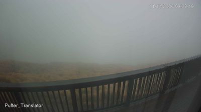
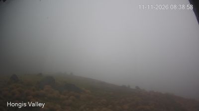
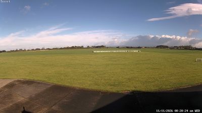

The landscape around North Egmont is a steep, rain-fed volcanic mountainside, which has shaped both its small-scale built form and visitor economy. Set on the northern slopes of Taranaki Maunga, this high-country locality is a principal access point for Egmont National Park and its network of walking routes. The North Egmont Visitor Centre sits at about 946 metres above sea level, beneath the 2,518-metre volcanic cone of Mount Taranaki. The mountain is an enduring ancestral presence for Taranaki Māori, while its near-symmetrical profile has made it one of New Zealand’s most recognisable landforms. Browse additional webcams from Taranaki to extend your view of this volcanic region.
1 webcam
Taranaki is best known within New Zealand for its near-symmetrical Mount Taranaki stratovolcano. Rising on the western side of the North Island, the mountain is encircled by Egmont National Park, where rainforest gives way to subalpine scrub and volcanic slopes. New Plymouth, the region’s largest city, sits on the Tasman Sea and is linked to its waterfront by the Coastal Walkway. Taranaki is also inseparable from Māori history: Parihaka became internationally known for its nineteenth-century campaign of non-violent resistance to colonial land confiscation. Farmland, surf beaches and the volcano’s changeable weather shape the province’s distinct character. Explore nearby webcam locations that provide complementary perspectives on Mount Taranaki and the Taranaki coast.
4 webcams
New Zealand combines Pacific isolation with strong ties to the wider South Pacific in a way that reflects its position between the Tasman Sea and the open Pacific Ocean. The country’s two main islands are divided by Cook Strait, while the Southern Alps run along much of the South Island and include Aoraki / Mount Cook, its highest mountain. On the North Island, volcanic terrain shapes Tongariro National Park and the central plateau; long coastlines frame cities such as Auckland and Wellington. Māori culture is central to national life, and the Treaty of Waitangi, first signed in 1840, remains a foundational document in relations between Māori and the Crown. See how New Zealand fits within the wider South Pacific by browsing webcams nearby.
491 webcams