 Whakapapa Village: Ruapehu volcano
Whakapapa Village sits on the northern side of Mount Ruapehu in Tongariro National Park, New Zealand, where volcanic slopes rise above the high central plateau. This small mountain settlement serves the Whakapapa side of Ruapehu, whose ski area is among the country’s principal lift-accessed alpine destinations. The wider park is shaped by the volcanoes Ruapehu, Ngauruhoe and Tongariro, as well as tussock land and native forest. Tongariro was New Zealand’s first national park; its origins lie in the 1887 gift of sacred volcanic peaks to the Crown by Māori leader Horonuku Te Heuheu Tukino IV. UNESCO recognises the park for both natural and cultural significance.
Generated by AI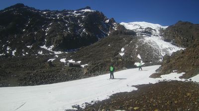
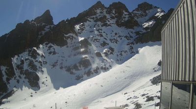
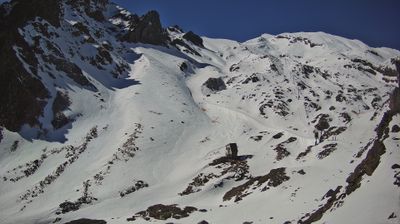
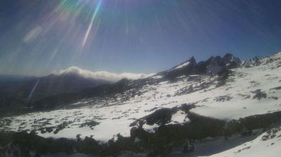

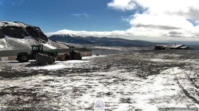
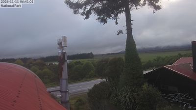

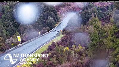
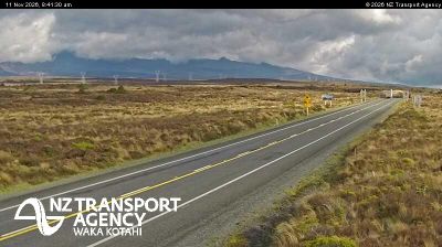

Built around access to Tongariro National Park, Whakapapa Village grew into a year-round mountain base on the northern slopes of Mount Ruapehu. It stands on the Central North Island Volcanic Plateau, where Ruapehu, Tongariro and Ngauruhoe shape terrain of alpine grassland, lava fields and winter snow. The 1929 Chateau Tongariro recalls the era when rail travel and mountain tourism made this remote plateau more accessible. Tongariro National Park holds both natural and cultural UNESCO World Heritage status, recognising its volcanic setting and enduring Māori significance. Find related webcams in the surrounding Tongariro region to build a fuller picture of the central North Island.
1 webcam
The Whanganui River and the central volcanic plateau define much of Manawatu-Whanganui – their valleys, pastureland and uplands underpin farming, forestry and outdoor travel. The region extends from the Tasman Sea coast across the Manawatu plains to Tongariro National Park, where Mount Ruapehu is an active volcano and a major landmark. Whanganui is one of New Zealand’s oldest European-settled towns, while the river holds profound importance for local Māori communities. In 2017, the Whanganui River was recognised in New Zealand law as a legal person, reflecting its relationship with iwi. View additional webcams nearby to better understand how Manawatu-Whanganui relates to its surroundings.
21 webcams
New Zealand combines Pacific isolation with strong ties to the wider South Pacific in a way that reflects its position between the Tasman Sea and the open Pacific Ocean. The country’s two main islands are divided by Cook Strait, while the Southern Alps run along much of the South Island and include Aoraki / Mount Cook, its highest mountain. On the North Island, volcanic terrain shapes Tongariro National Park and the central plateau; long coastlines frame cities such as Auckland and Wellington. Māori culture is central to national life, and the Treaty of Waitangi, first signed in 1840, remains a foundational document in relations between Māori and the Crown. See how New Zealand fits within the wider South Pacific by browsing webcams nearby.
491 webcams