 Volcano: Uekahuna - Halemaumau Crater - Kīlauea Crater - Kīlauea - Hale Ma'uma'u Volcano Crater
Few places in Hawaiʻi have a history as closely tied to volcanic activity as Kīlauea. This shield volcano forms the southeastern part of Hawaiʻi Island and lies within Hawaiʻi Volcanoes National Park. At its summit, Halemaʻumaʻu is a pit crater within Kīlauea’s caldera, an evolving depression shaped by eruptions and collapse. Uēkahuna occupies part of the caldera rim, where roads and overlooks introduce the scale of the summit landscape. In Hawaiian tradition, Halemaʻumaʻu is associated with Pele, the deity of volcanoes and fire. Lava plains and steep caldera walls make this an enduring record of a living volcanic system.
Generated by AI
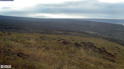
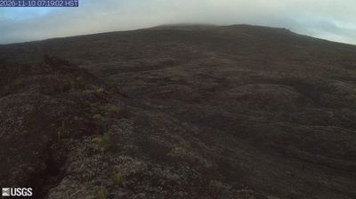



Built around the road to Kīlauea and services for travellers, Volcano CDP grew into a small upland community on the Island of Hawaiʻi. It lies on the rainier, forested slopes of Kīlauea, one of the world’s most active volcanoes, where volcanic soils and cool conditions support gardens, lodgings and local businesses. The community is closely connected to Hawaiʻi Volcanoes National Park, established in 1916 to protect Kīlauea and Mauna Loa. Its trails and visitor facilities place the island’s continuing volcanism in a wider scientific context. Continue with other webcams from Hawaiʻi Island to see how this part of Hawaiʻi connects across the island.
2 webcams
Among the regions of the United States, Hawaii stands out for its remote Pacific setting and chain of volcanic islands. These islands rise from the central Pacific Ocean, where trade winds, lava-shaped coasts and tropical vegetation create sharply varied environments. The coordinates lie on Oahu, home to Honolulu, the state capital and its principal urban centre. Oahu also contains Pearl Harbor, a naval base associated with the 1941 attack that brought the United States into the Second World War. Beaches, ridges and densely settled coastal districts sit close together here. Move on to other webcams in the region to compare landscapes and settings around the Hawaiian Islands.
34 webcams
The Atlantic, Pacific and Gulf coasts define much of the United States — their ports, fisheries and trade routes have long tied the country’s economy to the wider world. Between them, the Rocky Mountains, Great Plains and Mississippi River basin form sharply different regions, from high western ranges to broad agricultural heartlands. Cities carry much of the national story: New York’s Statue of Liberty, a gift from France dedicated in 1886, remains an enduring symbol, while Washington, DC concentrates major federal institutions. Indigenous nations have shaped these lands for millennia, and their living cultures remain essential to the country’s identity. Find related webcams in the surrounding areas to build a fuller picture of the United States.
32K webcams