 La Roche-sur-Yon: place Napoléon
La Roche-sur-Yon straddles the Yon River in the Vendée department, and its central position has made it the area’s administrative centre. Napoleon I chose the site for a new departmental town in 1804, establishing a rational plan of broad avenues that radiate from Place Napoléon. This expansive square remains the clearest expression of that Napoleonic design, with formal pools, tree-lined walks and civic buildings defining the town centre. Its basins contain mechanical animal installations created by François Delarozière, bringing a contemporary touch to an urban landscape deliberately planned in the early 19th century. The Atlantic coast lies west across the Vendée plain.
Generated by AI

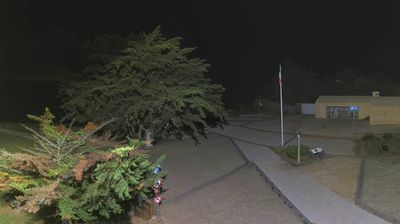
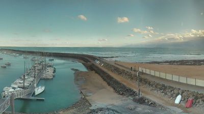
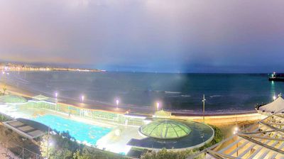

Among the cities of Pays de la Loire, La Roche-sur-Yon stands out for its planned Napoleonic centre. Set on the Yon River, it is the administrative capital of the Vendée department and was rebuilt on Napoleon I’s orders in 1804, when the town was intended to strengthen state authority after the Vendée wars. Place Napoléon remains its civic focal point, with broad avenues radiating from the central square. The square is also known for its mechanical animal sculptures, created by François Delarozière’s workshop, which bring a contemporary element to this orderly early-19th-century urban design. Browse other webcams across the Vendée and Pays de la Loire to place this setting in a wider geographic context.
2 webcams
The Loire River defines much of Pays de la Loire — its broad valley has long supported vineyards, market gardening and river towns. This western French region extends from the Atlantic coast to inland farmland and includes Nantes, Angers, Le Mans and the Vendée. In Angers, the medieval Château d’Angers holds the Apocalypse Tapestry, a major late-medieval work commissioned by Louis I, Duke of Anjou. Nantes developed as an important Loire port, while the river is also followed by the Loire à Vélo cycling route. Continue through nearby webcams to explore different parts of Pays de la Loire.
79 webcams
The Atlantic and Mediterranean coastlines, together with the Alps, Pyrenees and broad river basins, define much of France — they support maritime trade, farming, wine regions and travel throughout the year. The Seine runs through Paris, where the Eiffel Tower and the Louvre are among Europe’s most recognised landmarks. The Loire Valley is known for Renaissance châteaux, while Mont-Saint-Michel rises from a tidal bay in Normandy. Regional food traditions are equally distinctive, from Breton seafood to Provençal cooking, with bread, cheese and wine central to everyday life. France’s global cultural influence is evident in its language, literature, fashion and cinema. View additional webcams nearby to better understand how France’s coasts, plains and mountain borders relate to their surroundings.
2.2K webcams