 Pudahuel: Santiago - Arturo Merino Benitez Airport
Among the municipalities of the Santiago Metropolitan Region, Pudahuel stands out for hosting Arturo Merino Benítez International Airport, Chile’s principal air hub. It lies on the western side of the Santiago Basin, the broad urban plain framed by the Chilean Coastal Range and the Andes. The airport links the capital with domestic and international routes, and its terminals, runways and service areas are defining features of this part of Pudahuel. Its name honours Arturo Merino Benítez, an aviation pioneer who founded the Chilean Air Force. Beyond the airport estate, Pudahuel forms part of metropolitan Santiago’s western urban belt, where major transport infrastructure meets the open terrain of central Chile.
Generated by AI


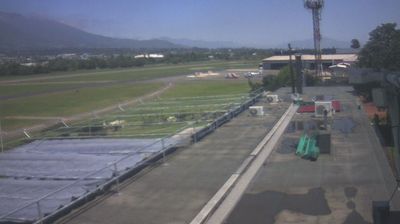
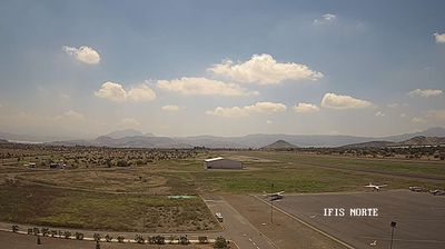

Tucked into the western side of the Santiago Basin, Pudahuel is a place whose character is shaped by a semi-arid climate and its position between the Andes and the Chilean Coast Range. Part of Greater Santiago, it combines residential districts, industry and major transport corridors across the capital’s broad basin floor. Arturo Merino Benítez International Airport lies within the commune, linking Pudahuel to Chile’s principal air network; it is named after the aviation pioneer Arturo Merino Benítez. The Mapocho River runs through northern Greater Santiago, while Pudahuel’s western location places it on routes toward the Pacific coast. Find related webcams in the surrounding area to build a fuller picture of Pudahuel and the Santiago Metropolitan Region.
1 webcam
Santiago Metropolitan Region combines the intensity of Chile’s capital with an Andean setting in a way that reflects its position within the country’s central valley. Santiago spreads across the basin west of the Andes, while the Mapocho River crosses the urban area from the mountains. The region is Chile’s political, financial and cultural centre, with institutions, museums and neighbourhoods ranging from the historic core around Plaza de Armas to newer districts at the foot of the cordillera. Founded in 1541, Santiago remains the country’s largest city and a base for understanding central Chile’s urban life. Continue through nearby webcams to explore different parts of the Santiago Metropolitan Region.
8 webcams
Among the countries of South America, Chile stands out for its exceptional north-to-south extent between the Andes and the Pacific Ocean. The Atacama Desert in the north is one of the driest places on Earth, while the south reaches into Patagonia, where Torres del Paine National Park is known for its jagged granite peaks, glaciers and lakes. Chile also includes Rapa Nui, the Pacific island famed for its monumental moai statues. In Valparaíso, steep hills, funicular railways and colourful historic neighbourhoods reflect the country’s maritime past; its historic quarter is a UNESCO World Heritage Site. Find related webcams in the surrounding area to build a fuller picture of Chile’s Pacific coast and Andean regions.
104 webcams