 Chiyoda: Mount Fuji
Among the places of Yamanashi Prefecture, Fujikawaguchiko stands out for its position on the northern shore of Lake Kawaguchi beneath Mount Fuji. The town is one of the Fuji Five Lakes communities, where the mountain’s broad volcanic cone defines the regional geography and the lakefront supports hotels, museums and leisure facilities. Mount Fuji, Japan’s highest peak at 3,776 metres, has long been a sacred mountain and a destination for pilgrimage; it was inscribed on UNESCO’s World Heritage List in 2013 as Fujisan, sacred place and source of artistic inspiration. Fujikawaguchiko is also a practical base for exploring the northern foothills and the wider Fuji area.
Generated by AI
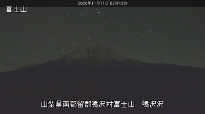




Few cities in Tokyo have a history as closely tied to the seat of national power as Chiyoda. The ward contains the Imperial Palace, on the site of Edo Castle, the base from which the Tokugawa shoguns ruled Japan. Moats and gardens preserve a broad green centre amid one of the world’s largest urban areas, while the Kanda River runs along part of Chiyoda’s northern boundary. Nearby, the National Diet Building anchors Nagatacho, and Akihabara is internationally associated with electronics, manga and anime culture. Tokyo Station’s red-brick Marunouchi building is another major landmark on the district’s eastern side. Move on to other webcams in Tokyo to compare districts and city settings around Chiyoda.
3 webcams
Tokyo stretches from the Okutama Mountains to the Izu and Ogasawara island groups, encompassing urban lowlands, forested uplands and volcanic Pacific islands. These coordinates fall on Izu Oshima, the largest of the Izu Islands, where Mount Mihara forms the island’s volcanic core. Black-sand shores and lava terrain contrast with the capital’s built-up centre, showing how far Tokyo’s administrative territory reaches into the ocean. Izu Oshima is closely associated with camellias, and Oshima Tsubaki oil remains a recognised local product. Ferry links from the mainland make the island part of Tokyo’s wider maritime setting. See how Tokyo connects mainland Japan with its Pacific islands by browsing webcams nearby.
212 webcams
Among the countries of East Asia, Japan stands out for its volcanic archipelago, stretching from the cool north of Hokkaido to subtropical Okinawa. Mount Fuji, the nation’s highest mountain, rises above central Honshu, while the Pacific Ocean and the Seto Inland Sea have long shaped settlement, fishing and travel. Tokyo pairs dense urban life with major museums and neighbourhood traditions; Kyoto preserves temples, gardens and the legacy of Japan’s imperial court. Seasonal customs give journeys a changing rhythm, from spring cherry blossom viewing to autumn leaves. Regional cooking is equally varied, with sushi, ramen and local specialties reflecting coastlines, climate and agriculture. Explore nearby webcam locations that provide complementary perspectives on Japan’s islands, cities and mountain regions.
1.3K webcams