 Tazacorte: Sunshine Paradise Rental Temporary Vacation - Apartamento Ático del mar - Playa Nueva - Mangón - Mirador en Tazacorte - Pier Puerto de Tazacorte
Tazacorte sits on the Atlantic coast of La Palma in Spain’s Canary Islands, where a steep volcanic slope drops toward the island’s west-facing shore. Around Puerto de Tazacorte, apartment buildings and the harbour meet broad banana plantations, the crop that has long defined local farming and much of the cultivated land here. The municipality became independent from Los Llanos de Aridane in 1925. It extends from the older settlement inland to the port district on the sea, and Playa Nueva–Mangón forms part of this developed coast. La Palma’s volcanic origin is apparent in the rugged relief behind the town, while the open Atlantic gives Tazacorte a strongly maritime identity. This is a compact coastal community where working agriculture, residential streets, fishing activity and leisure boating occupy the same narrow strip between slope and water.
Generated by AI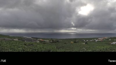
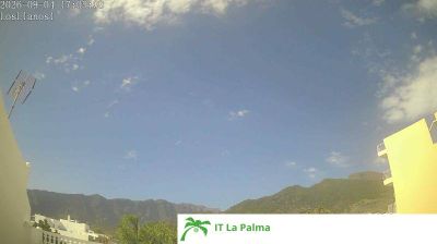
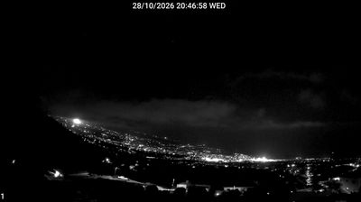
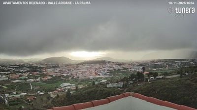

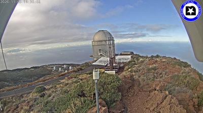
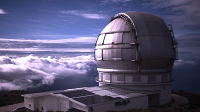
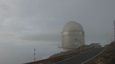


Few communities in the Canary Islands have a history as closely tied to banana cultivation as Tazacorte. On La Palma’s west coast, the town extends from the mouth of the Barranco de las Angustias towards the Atlantic, with the ravine carrying water from the Caldera de Taburiente area to the sea. Bananas remain central to the local identity and working landscape, their terraces and packing tradition reflecting an export crop that transformed this part of the island. The old settlement sits above Puerto de Tazacorte, whose harbour and dark volcanic shore add a maritime counterpoint to the cultivated slopes. Continue to other webcams in the Canary Islands to compare island settings around Tazacorte.
2 webcams
The Canary Islands have served as an Atlantic crossroads within Spain since the fifteenth century. This volcanic archipelago lies off northwestern Africa, where the Atlantic Ocean, trade winds and sharply varying terrain shape climates ranging from dry coasts to cool uplands. Tenerife is home to Mount Teide, Spain’s highest peak, while the Teide National Park is a UNESCO World Heritage Site. Across the islands, black-sand shores, lava fields and cultivated slopes reflect their volcanic origins. Carnival traditions, especially those of Santa Cruz de Tenerife, remain an important part of the local calendar. View additional webcams nearby to better understand how the Canary Islands relate to the Atlantic and to one another.
73 webcams
Spain extends from the Cantabrian coast to the Canary Islands, encompassing Atlantic shores, Mediterranean beaches and the broad interior Meseta. The Pyrenees form its northeastern frontier, while the Guadalquivir crosses Andalusia on its way to the Atlantic. Madrid anchors the country’s political and cultural life, but distinct regional identities are central to Spain’s character: Catalonia, the Basque Country, Galicia and Andalusia each have their own languages or strong local traditions. Granada’s Alhambra is a major monument of the medieval Nasrid dynasty, and Santiago de Compostela remains the destination of the Camino de Santiago. Browse related webcams around the Iberian Peninsula to build a fuller picture of Spain.
1.4K webcams