 St. John's: Harbourside Park - Saint John's Harbour
Tucked along the narrow inlet of St. John’s Harbour, St. John’s is a place whose character is shaped by its sheltered Atlantic port. Harbourside Park lies on the downtown waterfront, amid working quays, warehouses and commercial streets that reflect the harbour’s enduring role in Newfoundland and Labrador. The inlet runs through the Narrows to the Atlantic, with steep, rocky hills enclosing much of its length. Signal Hill rises at the harbour entrance, where Cabot Tower was built to commemorate John Cabot’s 1497 voyage and Queen Victoria’s Diamond Jubilee. Cargo vessels and cruise ships continue to use the port, while the surrounding core brings together civic buildings, restaurants and long-established Water Street businesses.
Generated by AI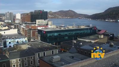

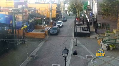
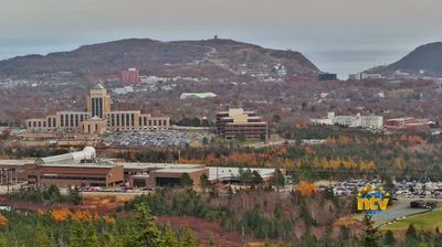

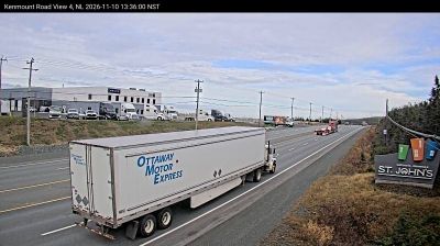

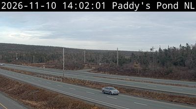


St. John's sits on St. John's Harbour in Newfoundland and Labrador, Canada, where steep streets rise from a sheltered Atlantic inlet. The Narrows, the harbour's narrow entrance, leads past Signal Hill, a National Historic Site crowned by Cabot Tower. In 1901, Guglielmo Marconi reported receiving the first transatlantic wireless signal at Signal Hill, securing the city a place in communications history. Downtown's colourful wooden row houses, often called Jellybean Row, add a local note to streets shaped by fishing, shipping and the North Atlantic. Continue with other webcams from Newfoundland and Labrador to see how this part of Atlantic Canada connects regionally.
8 webcams
Among Canada’s regions, Newfoundland and Labrador stands apart for its far-reaching North Atlantic coastline and the meeting of the island of Newfoundland with mainland Labrador. The province faces the Labrador Sea to the northeast and the Gulf of St. Lawrence along its western and southern reaches; its terrain ranges from exposed shores and barrens to forests, lakes and the Labrador Plateau. Gros Morne National Park, on Newfoundland’s west coast, is a UNESCO World Heritage Site celebrated for geology that exposes deep sections of Earth’s crust. Inuit, Innu and Mi’kmaq communities are integral to the province’s living cultures, alongside outport traditions shaped by the cod fishery. Browse additional webcams from the surrounding area to extend your view of Newfoundland and Labrador.
45 webcams
Canada has served as a frontier between French and British colonial powers since the 17th century. The world’s second-largest country extends from Atlantic shores to the Pacific and Arctic coasts, with the Canadian Shield, the Rocky Mountains, the Great Lakes and the St. Lawrence River shaping its vast geography. First Nations, Inuit and Métis peoples are central to Canada’s identity, while Ottawa’s Parliament Hill represents its federal political life. French remains the official language of Quebec, adding a distinct dimension to the country’s public culture. See how Canada connects across North America by browsing webcams in neighbouring regions.
3.5K webcams