 Aedermannsdorf: Brunnersbergstrasse
Aedermannsdorf has served as a farming community in the Solothurn Jura since the 14th century. Its first known written record, from 1308, names it Odermarstorf. Brunnersbergstrasse runs through pasture and cultivated land on the Jura foothills above the village, where farm buildings, mature trees and open fields remain central to the local character. Aedermannsdorf belongs to the Thal district, a rural part of the canton of Solothurn between Jura ridges and the valley of the Dünnern. This is a working agricultural setting, shaped by dispersed farms and quiet local roads rather than dense development.
Generated by AI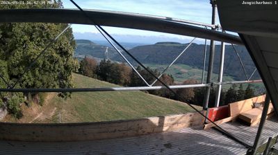
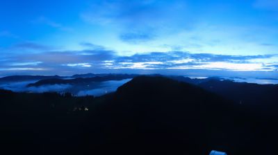
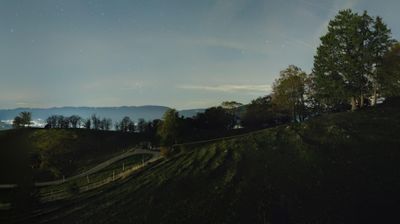

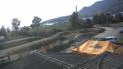
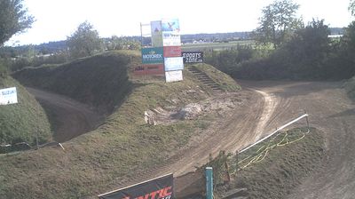
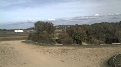


Aedermannsdorf blends the calm of a small farming community with the rugged relief of the Jura in a way that reflects its position in Solothurn’s Thal region. The municipality lies among the folded ridges and wooded slopes of the Swiss Jura, a landscape of pasture, forest and narrow valleys rather than Alpine peaks. It belongs to the German-speaking part of Switzerland, and its built-up area retains the compact scale typical of rural Jura settlements. Nearby Balsthal is the principal town of the Thal valley, while routes through the Jura connect this corner of canton Solothurn with the Swiss Plateau. Discover other points of interest through webcams located across Solothurn and the Swiss Jura.
2 webcams
Solothurn occupies a stretch of the Swiss Plateau and the southern Jura slopes in northwestern Switzerland. The canton ranges from wooded Jura ridges, including the Weissenstein above its capital, to productive lowlands along the Aare River. Solothurn city developed at an important Aare crossing and retains a remarkably coherent baroque centre. The 18th-century Cathedral of St Ursus is its defining monument. Small towns, farmland and industrial communities elsewhere reflect the region’s position between Basel, Bern and Zurich. Rail connections place Solothurn firmly within everyday Swiss travel, while Jura paths lead quickly into higher, forested terrain. Browse other webcams across Solothurn to place this setting in a wider geographic context.
14 webcams
Switzerland stretches from the Jura Mountains in the northwest to the Alps in the south, encompassing a central plateau of cities, farms and lakes. The Rhine rises in the Swiss Alps, while Lake Geneva forms part of the country’s southwestern border. Zürich, Geneva and Basel are major urban centres, yet mountain railways and passes remain central to how many regions are experienced. Four national languages—German, French, Italian and Romansh—reflect Switzerland’s distinct cantonal identities. The Matterhorn above Zermatt is among Europe’s most recognisable peaks, and the 1291 Federal Charter is closely associated with the country’s founding tradition. Continue through nearby webcams to explore different parts of Switzerland.
1.1K webcams