 Nea Malgara: Pentalofos
The landscape around Pentalofos is gently undulating at the edge of the Axios plain, which has shaped both the built environment and local life. This settlement in the Municipality of Delta stands west of Thessaloniki, where low rises break from the broad agricultural lowlands associated with the Axios River. Its Greek name, meaning “five hills”, reflects that relief rather than a coastal setting. Houses, gardens and local streets form a compact residential fabric, while cultivated land remains central to the surrounding area. Pentalofos belongs to the wider Thessaloniki urban sphere but retains the scale of a Macedonian plain settlement. The Axios, one of northern Greece’s major rivers, flows to the Thermaic Gulf; its delta is a protected wetland of international importance. Village life, working farmland and riverine lowland together define Pentalofos’s regional character.
Generated by AI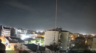
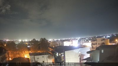


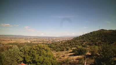


Among the towns of Macedonia and Thrace, Nea Malgara stands out for its position on low-lying farmland west of the Axios River delta. This part of northern Greece extends toward the Thermaic Gulf, where the Axios wetlands form an important estuarine environment on the edge of the Thessaloniki plain. Fields and irrigation channels shape the settlement’s surroundings more than dense urban development, while Thessaloniki lies east across the plain. Nea Malgara’s name recalls Malgara in Eastern Thrace, reflecting the refugee resettlement that shaped many communities in Greek Macedonia during the 20th century. Discover other points of interest through webcams located across Macedonia and Thrace.
3 webcams
Macedonia and Thrace has served as a cultural crossroads in the Greek lands since antiquity. Around the lower Strymon River, fertile plains meet the foothills and routes that have long linked the Aegean coast with the Balkan interior. Ancient Amphipolis, founded by Athenians in 437 BC, grew beside a strategic crossing of the Strymon and later became an important Macedonian and Roman centre. Farther east, the archaeological site of Philippi recalls the Roman Via Egnatia and the region’s place in Mediterranean travel and trade. Browse other webcams across Macedonia and Thrace to place this setting in a wider geographic context.
70 webcams
Greece occupies a mountainous peninsula and island-dotted coastline in southeastern Europe. The Aegean Sea shapes its eastern shore, while the Ionian Sea lies to the west; Crete is the country’s largest island. Athens is anchored by the Acropolis, where the Parthenon has stood since the fifth century BCE as a defining monument of classical antiquity. Beyond the capital, the Pindus Mountains run through the mainland, and Mount Olympus is associated in ancient Greek religion with the home of the gods. Greek food traditions centre on olive oil, seafood, cheeses and regional dishes, with long meals remaining an important part of social life. Continue through nearby webcams to explore the islands and mainland regions of Greece.
504 webcams