 Tawaramoto: Shiki Holiday Emergency Clinic - Kokuho Chuo Hospital - Yamato-Gose Road
Tawaramoto combines a working agricultural plain with everyday medical and transport infrastructure in a way that reflects its position in the Nara Basin. Kokuho Chuo Hospital and the Shiki Holiday Emergency Clinic place health services alongside Yamato-Gose Road, which crosses a setting of rice paddies, compact neighbourhoods and roadside businesses. Tawaramoto also contains the Karako-Kagi archaeological site, a major Yayoi-period settlement. Its excavations have revealed a moated community and evidence of long-distance exchange, giving the town an important role in research into early rice-growing society in Japan. Low mountains frame the basin beyond the cultivated plain, while nearby Nara cities keep the area closely connected.
Generated by AI


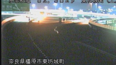
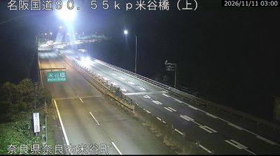
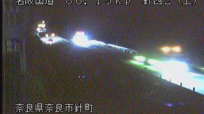



Tawaramoto occupies a level stretch of the Nara Basin in central Nara Prefecture. The town belongs to the Yamato plain, a long-settled agricultural and urban landscape framed by the mountains around the former imperial capital of Nara. Its defining historic site is the Karako-Kagi Archaeological Site, where excavations have revealed a large moated settlement from the Yayoi period. Finds from the site, including depictions of raised buildings, have helped archaeologists investigate early rice-growing communities in Japan. Tawaramoto is also well placed for exploring the wider cultural landscape of the Nara Basin, from ancient temples to the old towns of Yamato. Browse additional webcams nearby to understand how Tawaramoto fits into the Nara Basin.
1 webcam
Nara Prefecture has been a historic heartland of Japan since antiquity. Its northern basin centres on Nara, Japan’s capital from 710 to 794, where Tōdai-ji’s Great Buddha and the temple precincts of Nara Park recall the early Buddhist state. Southward, the land rises into the forested Yoshino Mountains, and the Yoshino River crosses this interior before becoming the Kinokawa in Wakayama. Yoshino is closely associated with spring cherry blossoms, while ancient pilgrimage routes traverse the southern mountains towards the sacred sites of the Kii Peninsula. Browse other webcams across Nara Prefecture to place this setting in Japan’s wider geographic context.
13 webcams
Among the countries of East Asia, Japan stands out for its volcanic archipelago, stretching from the cool north of Hokkaido to subtropical Okinawa. Mount Fuji, the nation’s highest mountain, rises above central Honshu, while the Pacific Ocean and the Seto Inland Sea have long shaped settlement, fishing and travel. Tokyo pairs dense urban life with major museums and neighbourhood traditions; Kyoto preserves temples, gardens and the legacy of Japan’s imperial court. Seasonal customs give journeys a changing rhythm, from spring cherry blossom viewing to autumn leaves. Regional cooking is equally varied, with sushi, ramen and local specialties reflecting coastlines, climate and agriculture. Explore nearby webcam locations that provide complementary perspectives on Japan’s islands, cities and mountain regions.
1.3K webcams