 Hlinsko: Pension Horalka - Skiareál Hlinsko - Sjezdovka Hlinsko
Built around the Chrudimka River, Hlinsko grew into a small regional town on the edge of the Žďárské vrchy highlands. Skiareál Hlinsko occupies a wooded hillside close to town, with Pension Horalka beside the slope. The site has a practical local character rather than the scale of a major mountain resort. In Hlinsko’s centre, the Betlém heritage reserve preserves former craftspeople’s cottages and recalls the folk traditions of the wider Hlinecko area. Forest and open clearings shape the surrounding upland country, while the Chrudimka runs through the town below.
Generated by AI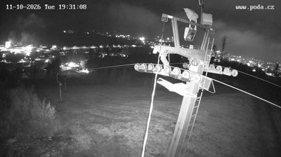



The landscape around Hlinsko is a rolling, forest-edged upland of the Bohemian-Moravian Highlands, which has shaped both the town’s compact form and local economy. The Chrudimka River rises near the town and flows through it, linking Hlinsko with the wider Chrudim basin. Its defining historic quarter is Betlém, where timbered cottages recall a nineteenth-century craftspeople’s settlement and form part of the Vysočina Open-Air Museum. Hlinsko also gives its name to the Hlinecko area, whose Shrovetide mask processions were added to UNESCO’s Representative List of the Intangible Cultural Heritage of Humanity in 2010. Explore nearby webcam locations that provide complementary perspectives on Hlinsko and the Pardubice Region.
2 webcams
Pardubický kraj has been an eastern Bohemian heartland of the Czech lands since the Middle Ages. The Labe crosses its western lowlands around Pardubice before the terrain rises toward the Orlické Mountains and the Žďárské vrchy. Pardubice developed around its Renaissance castle and is associated with the Pardubice Steeplechase, a race first held in 1874. To the south-east, Litomyšl is known for its Renaissance château, inscribed on UNESCO’s World Heritage List, while Kladruby nad Labem preserves the stud landscape linked to the Kladruber horse. Browse additional webcams nearby to understand how Pardubický kraj meets the lowlands and uplands around it.
100 webcams
The terrain of Czechia ranges from fertile lowlands in southern Moravia to mountain ridges along the northern frontier, giving this Central European country a distinctly varied geography. The Vltava runs through Prague before joining the Elbe, while the Krkonoše form part of the border with Poland and include Sněžka, Czechia’s highest mountain. Prague’s historic centre, with Prague Castle and Charles Bridge, reflects the city’s long role as a political and cultural centre. Beyond the capital, Bohemia is known for spa towns and brewing, and Moravia for wine-growing traditions. View additional webcams nearby to better understand how Czechia relates to its Central European surroundings.
1.4K webcams